
Reference
On this page:
The vision for Brunswick (Sydney Road)
The following vision for Brunswick (Sydney Road) train and tram zone activity centre is built from the Statement of Advice prepared by a Community Reference Group (CRG) made up of local residents.
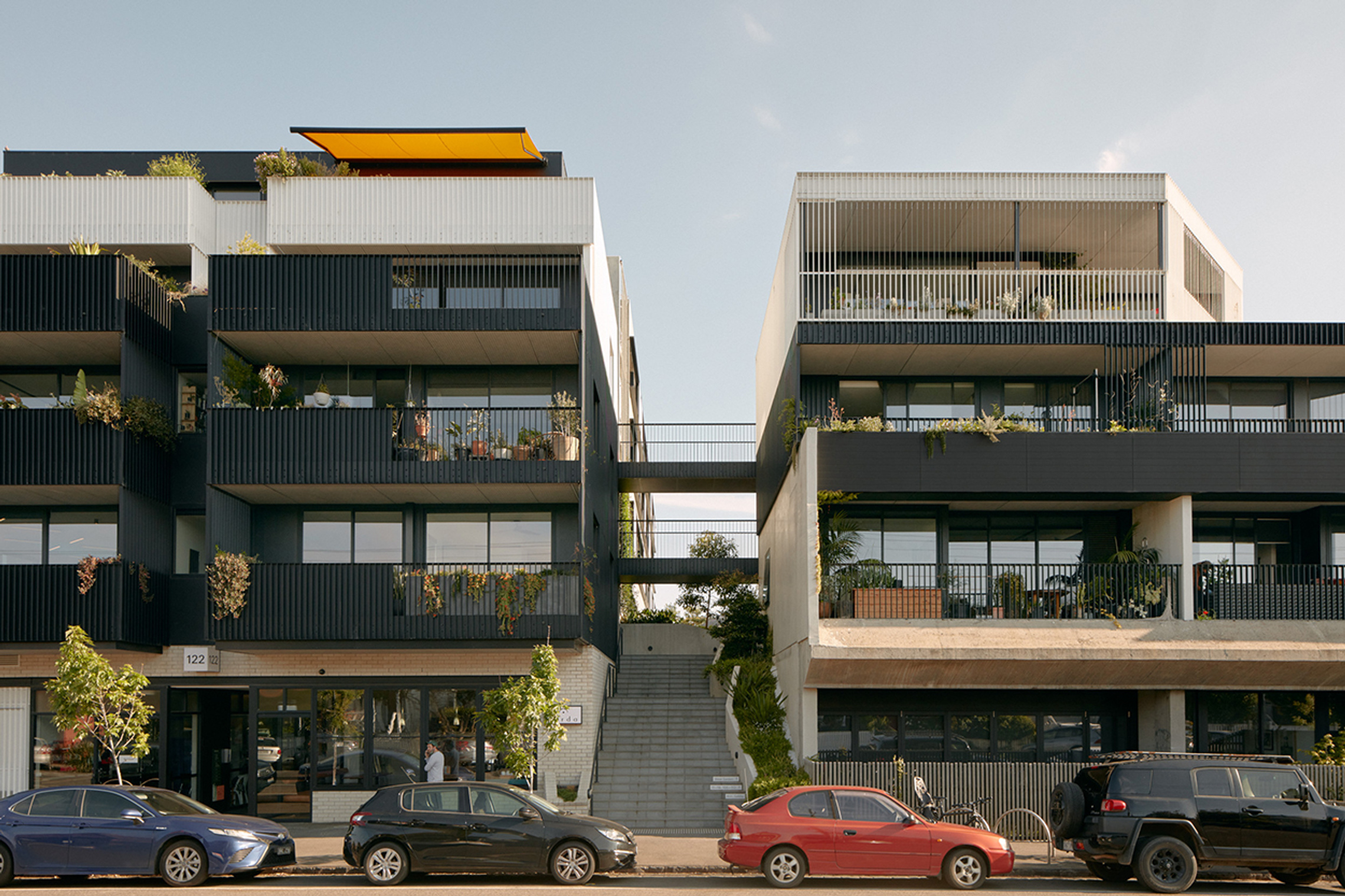
Brunswick (Sydney Road) will offer a range of homes that reflect the suburb’s creative and diverse spirit. New apartments will sit beside older, character‑filled buildings that tell Brunswick’s story.
Locals and visitors will continue to support the area’s thriving design scene, creative industries and entertainment venues.
I think it’s important to provide more housing choices but with high importance also placed on providing open space for the community and ensuring the local area character is enhanced.
What we understand about place and how we’ve addressed it
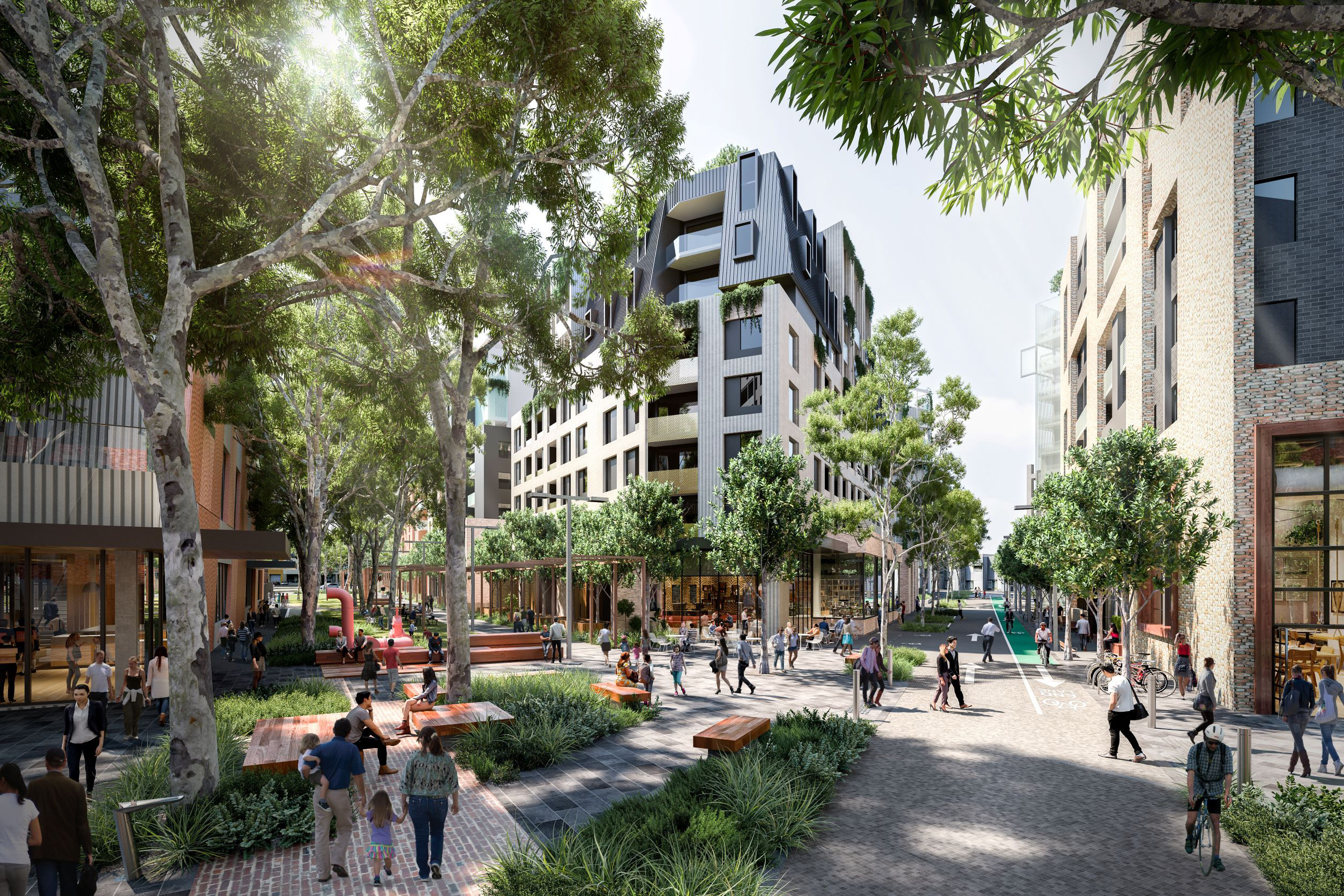
Brunswick (Sydney Road) has a strong entertainment and artistic culture that keeps its many shops, restaurants, galleries and civic spaces lively.
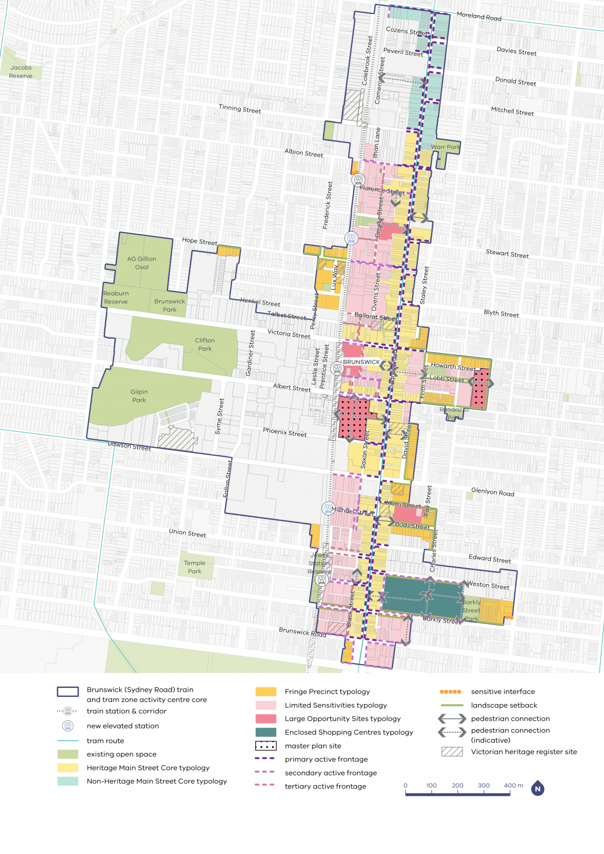
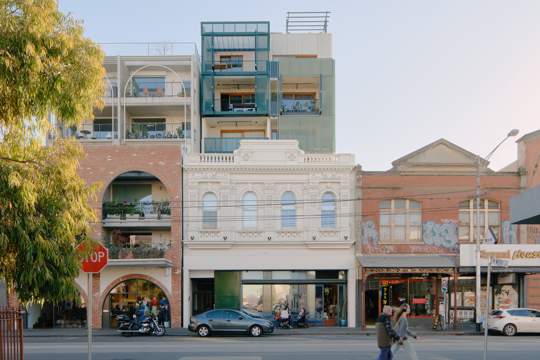
Many of these places have historic significance, including Sydney Road’s shopfronts and major landmarks like the Brunswick Baths and the Town Hall. That’s why we have applied the Heritage Main Street typology to key sections of Sydney Road and connecting streets including Dawson, Albert and Victoria Street.
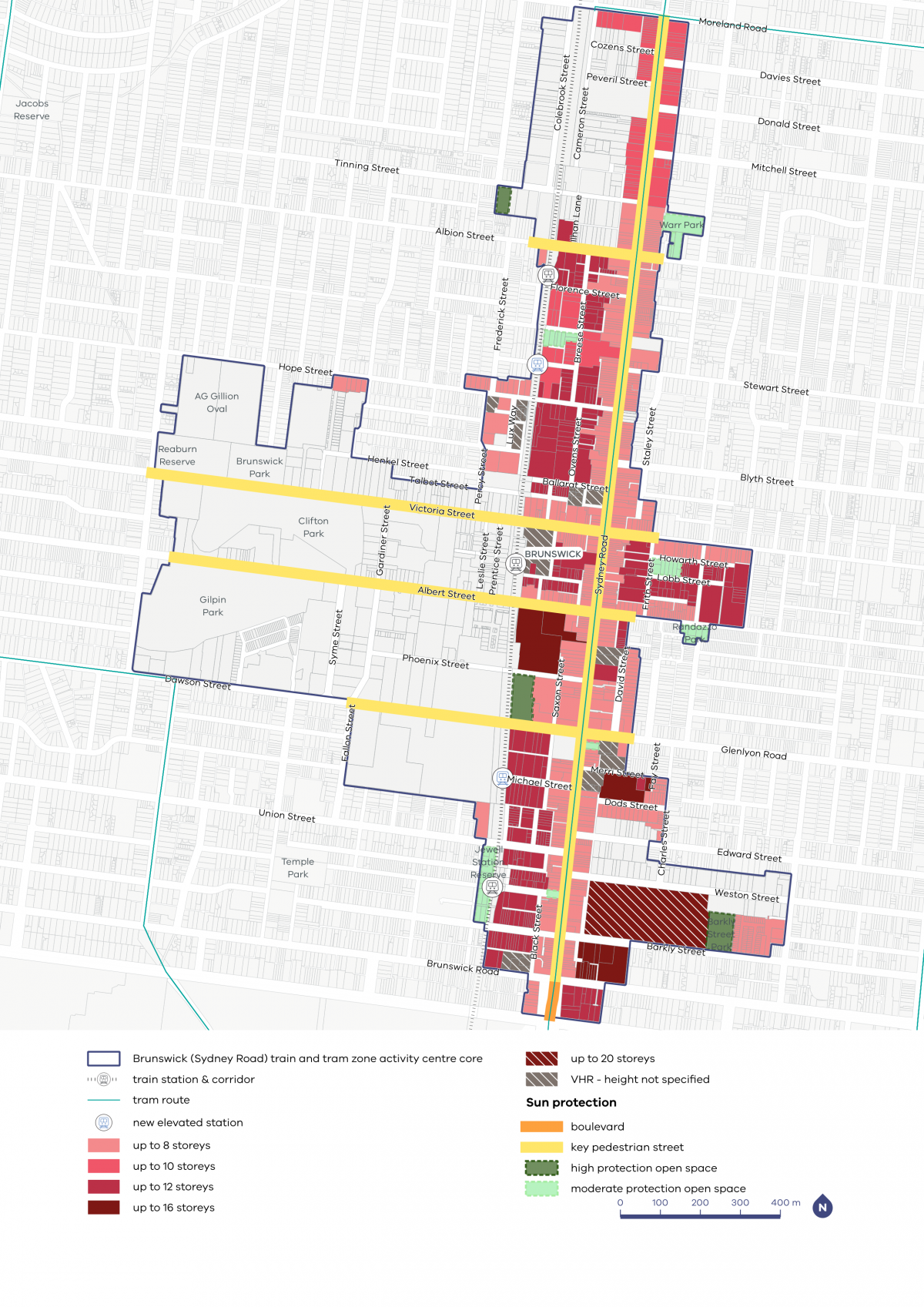
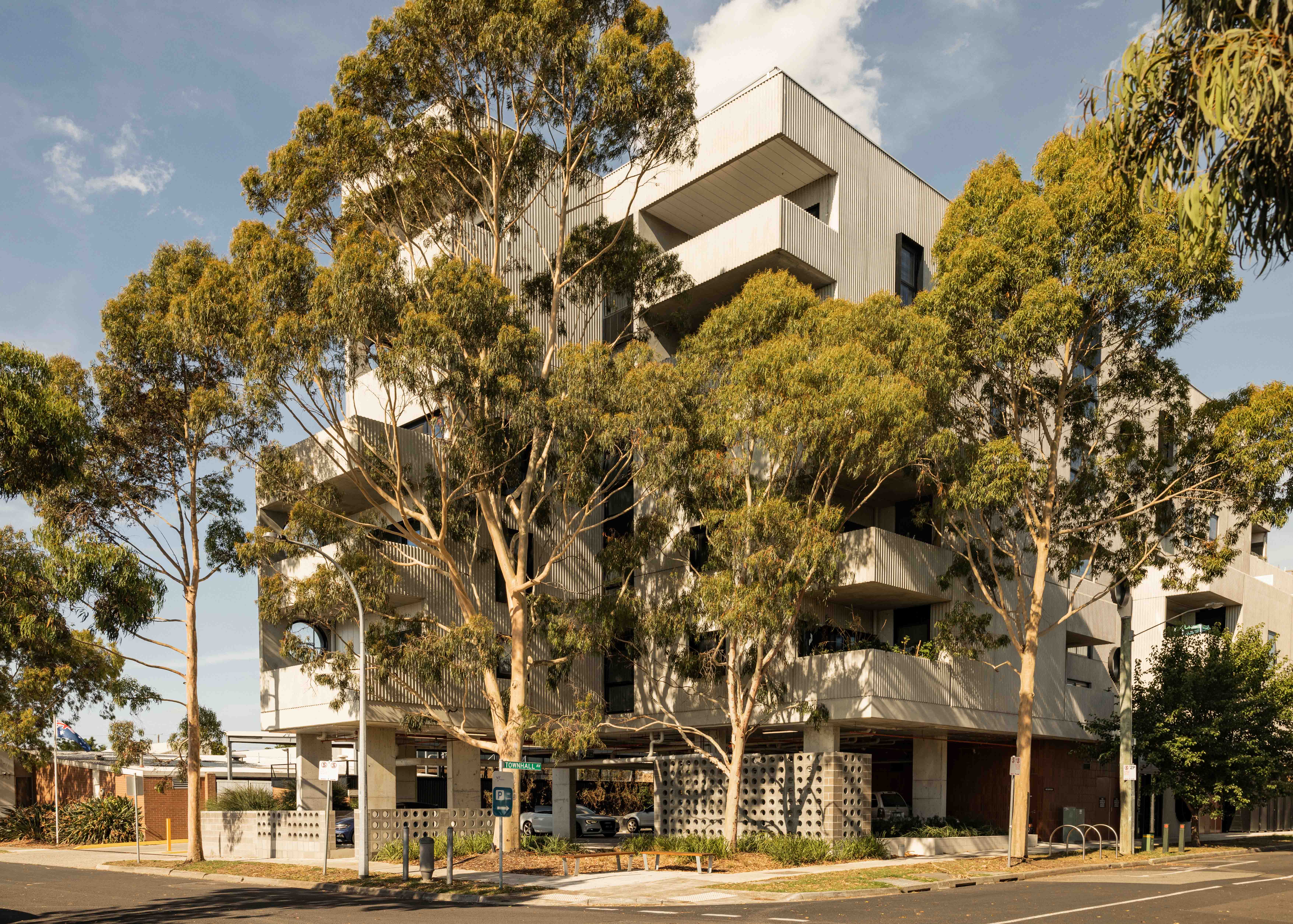
The CRG noted how important green, open spaces and tree canopy are for providing shade and supporting walkability, recreation and relaxation. That’s why we have planned for overshadowing protection of important open spaces including Bulleke‑Bek, Yubup and Warr Parks.
Shading and weather protection on Sydney Road will also be preserved and improved through a weather protection clause in the Built Form Overlay to encourage the use of consistent awnings over footpaths, complementary to Sydney Road’s existing streetscape.
The Upfield bike path will be further transformed through the Level Crossing Removal Project, which will bring with it increased open space and safety, with separated walking and riding paths.
Brunswick (Sydney Road) is on the Upfield train line with direct connections to Melbourne’s city centre and other key destinations. In the coming years, the existing stations will be replaced with modern stations in Brunswick’s north and south. We have worked closely with the Level Crossing Removal Project in planning for housing and amenity around Brunswick’s current and future stations. We have included a requirement for ground‑floor setbacks along the Upfield rail corridor to increase connectivity and sun access along the important thoroughfare.
We heard that the community are generally supportive of development being concentrated around train stations and large sites such as supermarkets and car parks. This has been reflected in the chosen maximum building heights, with master planning requirements being applied in some areas to encourage site‑specific design responses.
Merri-bek core and catchment map
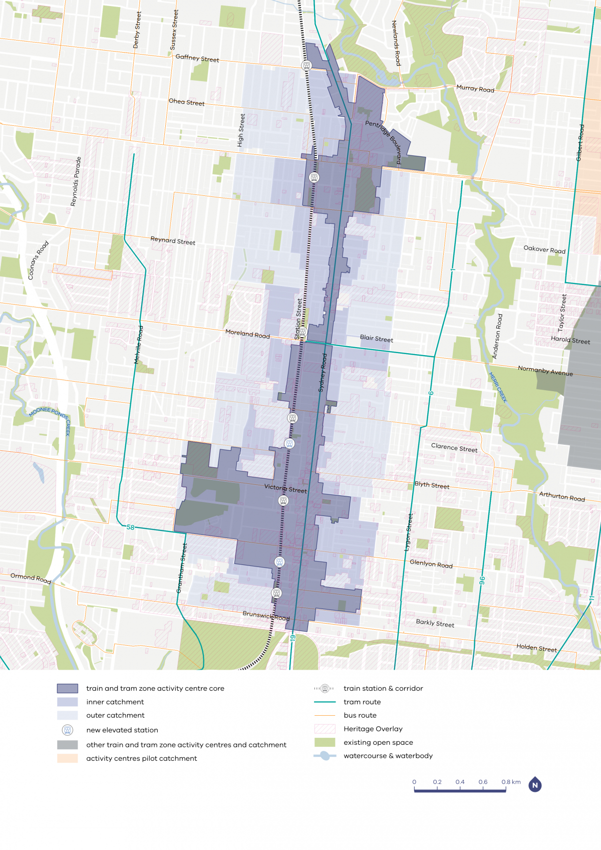

| Core | Inner catchment | Outer catchment |
|---|---|---|
| Various heights between six and 16 storeys in most centres, with potential for taller heights in some places in the larger centres | Up to four storeys, and up to six storeys on blocks larger than 1000m2 | Up to three storeys, and up to four storeys on blocks larger than 1000m2 |
Brunswick core and catchment explained
The core is the central part of the train and tram zone activity centre, closest to public transport, jobs and services. This area is best suited to accommodate more homes.
The catchment is the surrounding area within approximately 10 minutes’ walk of the core (around 800 metres).
As you move away from the commercial and community core of the train and tram zone activity centre, we expect that the building heights will gradually decrease. This will allow a transition between the activity centre and the surrounding suburb.
For Brunswick (Sydney Road) The inner catchment responds to the centre’s amenities including Clifton Park and Gilpin Park to the west, and Barkly Square to the east. The outer catchment responds to where it intersects with other commercial areas including the Grantham/Union Street neighbourhood centre.
What we are doing for your community
- Active frontages along Sydney Road will help to maintain its character and encourage pedestrian activity.
- We have applied landscape setbacks on streets east of Sydney Road to encourage good tree canopy coverage and a transition to quieter residential areas.
- Heights on Sydney Road gradually increase away from the heritage area. A consistent street wall height on Sydney Road will produce a similar look and feel despite varied building heights.
- Bulleke-bek Park has sun access protections and adjacent building heights are up to 10 storeys to protect the space for local community.
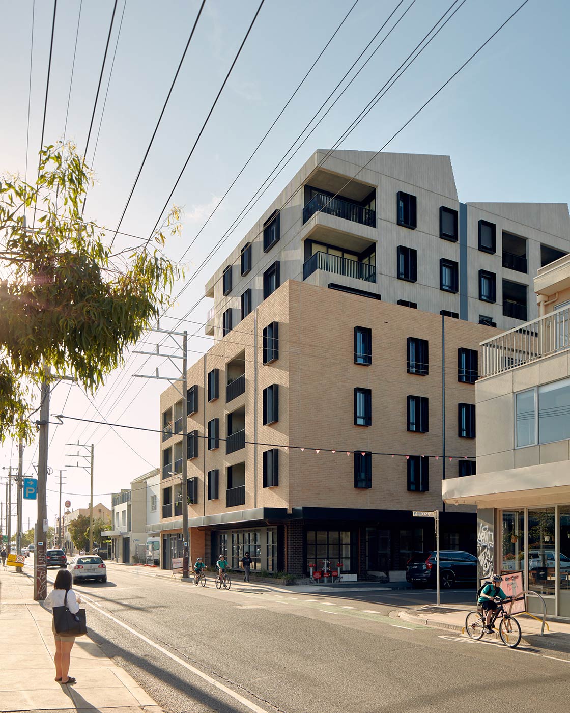
- Maximum building heights up to 12 storeys are applied between Victoria Street and Albert Street. This is consistent with existing apartment developments and encourages a harmonious street character.
- The tallest maximum building heights are at Barkly Square, due to the large lots and car park areas.
Refer to the following plans:
- Plan 3: Brunswick (Sydney Road) typology, activation and setbacks
- Plan 4: Brunswick (Sydney Road) building heights and sun protection
Plans
The built form outcomes and building heights for the activity centre core are set out on the following plans:
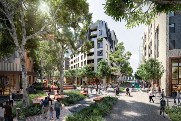
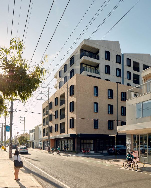
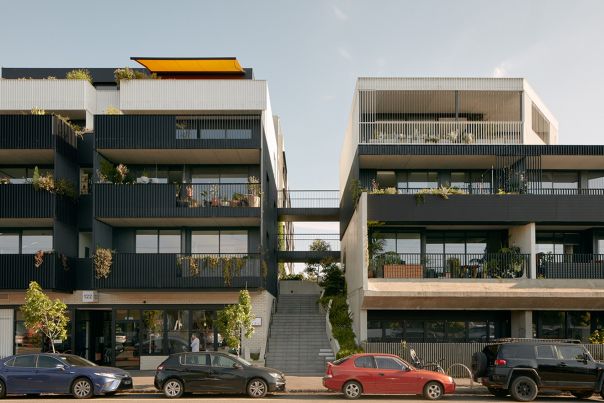
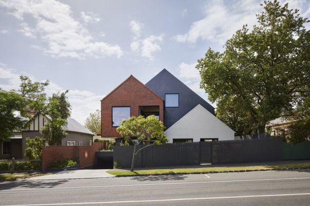
The plans support the right types of homes being built in the places they fit best. These are some of the kinds of homes you might see more of in the future.
- Activity Centre Core - large opportunity site

- Activity Centre Core - main street precinct
- Activity Centre Core - limited sensitivities precinct

- Activity Centre Core - fringe precinct

- Activity Centre Core - residential precinct
- Inner Catchment
- Outer Catchment
Activity Centre Core - large opportunity site
Activity Centre Core - main street precinct
Activity Centre Core - limited sensitivities precinct
Activity Centre Core - fringe precinct
Activity Centre Core - residential precinct
Inner Catchment

Outer Catchment
Page last updated: 31/03/26