
Reference
current
Published:
Last updated:
On this page:
More homes across Melbourne
Right across Victoria, not enough people have the chance to afford a home close to the people and places they love. We need to act now to make sure we build a future where every Victorian can choose a home that's right for them.
We’re seeking to change planning rules in and around 60 train and tram zone activity centres, encouraging more than 300,000 new homes to be built around Melbourne’s train and tram lines, jobs and services by 2051.
Plans for 35 activity centres are now in place, which includes the 10 pilot activity centres and the 25 centres that formed Stage 1 of the expansion program. We’ve recently completed consultation for the 23 centres in Stage 2 and are progressing planning for the two proposed centres in inner Melbourne.
The program is one of the key initiatives of Plan for Victoria, which set housing targets for every municipality across Victoria, including those for the local government areas (LGAs) where the 60 activity centres in the program are located.
You can find the housing targets for each local government area on the Housing Targets page.
What is an activity centre?
Activity centres are vibrant places where people shop, work, access public transport, connect with family and friends, as well as live.
There are many activity centres across Melbourne. They range from small centres around suburban train stations, to clusters of shops and services along high streets, to major centres with universities, hospitals and shopping centres.
They are great locations for more homes, but they are so much more. Activity centres can be places to work and interact socially, to enjoy parks and open space, and ideal places to shop and access your essential daily needs.
What is the Train and Tram Zone Activity Centres Program?
Train and tram zone activity centre planning is about creating more opportunities for diverse types of housing by setting clear expectations for long-term growth, giving the community a say early, and streamlining planning.
We’re not acquiring land as part of this program. We’re seeking to introduce clear planning controls to allow the right housing to be built in the right places. While planning regulates the location and types of new housing, property owners and developers will build and deliver new housing.
We’re developing plans for centres, which will include guidance on where new homes can go and what kinds of homes are most suitable for each area, as well as setting clear planning rules in these areas to allow more homes to be built for Victorians.
For detailed information about our planning, view the Train and Tram Zone Activity Centres Program Explainer.
For background on the program’s origins, view the City of Centres report.
How we identify train and tram zone activity centres
We’ve identified the centres in this program based on an analysis of transport capacity, market viability, access to jobs and services, and environmental considerations.
The identification of train and tram zone activity centres near train stations or tram corridors follows community feedback during consultation for the activity centres pilot, where we heard that people want more homes near public transport.
The plans for 10 pilot activity centres were finalised in 2025, with plans for a further 25 centres included in Stage 1 of the program finalised in early 2026.
Throughout this year, we'll develop plans for an additional 25 centres. The plan to add more centres close to train stations and tram lines follows community feedback on the pilot activity centres, where Victorians emphasised the importance of transport connections.
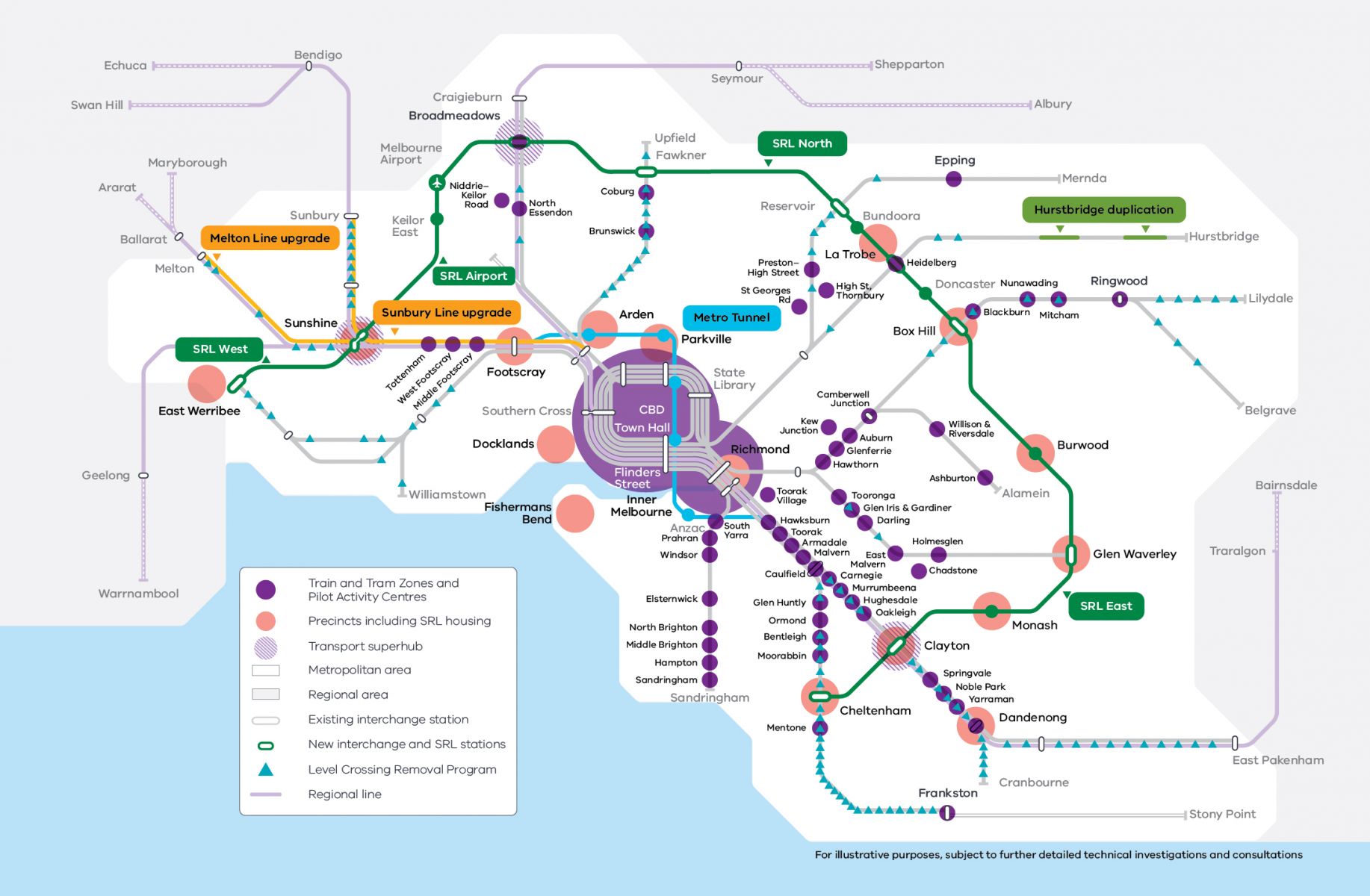
See the map below for proposed train and tram zone activity centre locations:
Increasing housing supply
We know one of the biggest drivers contributing to the rising housing costs is supply. The Train and Tram Zone Activity Centres Program seeks to increase the supply of homes in areas close to jobs, services and public transport.
Most new homes in activity centres will be built by private developers and landowners. The Train and Tram Zone Activity Centres Program will provide certainty to these developers about the types of homes that can be built and where. We expect development to occur gradually, over the next 20 to 30 years.
We are also reviewing State Government landholdings, including opportunities to deliver more homes on land that isn’t needed for other government uses any more.
These sites could include underutilised rail land, institutional uses which have relocated or have a reduced footprint, or vacant/surplus sites.
Stories from here videos
As we plan for more homes, find out the benefits of convenience, neighbourhood vibrancy and apartment living from those already residing in higher density locations across the city. View ‘Stories from here’ videos below:
Convenience
Neighbourhood vibrancy
Apartment living
How centres may develop over time
Once plans for all 60 centres are approved by the Minister for Planning and in place, we expect each one will gradually change over the next few decades, providing the new homes we need between now and 2051.
We expect larger, unused blocks of land will be developed first. They provide the best opportunities to deliver new homes the soonest. Development in all areas is dependent on what the landowner wishes to do. Streets with existing homes on smaller blocks are likely to develop more slowly or may experience very little change at all.
Current and future views
The images below show you how a proposed train and tram zone activity centre may evolve up to 30 years into the future.
Use the then-and-now slider tool to see current and future views of potential:
- cores
- inner catchments
- outer catchments.
See the how we're planning page to find out more about core and catchment areas.
Note: the images below are examples only, and not based on specific locations.
Core street views
The images below show current and future views of three streets in core areas. Click on the tabs to view them:
Inner catchment street views
The images below show current and future views of a street in an inner catchment areas. Click on the tabs to view them:
Outer catchment street views
The images below show current and future views of a street in an outer catchment area. Click on the tabs to view them:
How the program links with other initiatives
The Train and Tram Zone Activity Centres Program is one of the key initiatives of Plan for Victoria.
Plan for Victoria is our 30-year strategic land use plan for creating more homes in places close to transport, jobs, schools, shops, parks and all the things that make a suburb, town or region vibrant, liveable and sustainable.
It sets clear housing targets for every Victorian municipality, showing how many homes need to be built and where they should go with the aim of 2.24 million new homes across the state by 2051. The program will also support councils to meet their targets while keeping local communities vibrant, connected and liveable.
The Department of Transport and Planning is also supporting more homes in well located areas through a range of other initiatives including:
- updating our planning system to allow faster approvals for well-designed homes. This includes reforms such as the updated Townhouse and Low-Rise Code and the Mid-Rise Code
- streamlining planning approvals for significant residential developments that include affordable housing through Victoria’s Development Facilitation Program
- providing ready-made architectural designs through the Future Homes Program, which can be purchased by developers and get access to a streamlined planning process
- developing and attracting investment to precincts to capitalise on the benefits of major infrastructure investments such as the Metro Tunnel and Suburban Rail Loop
- delivering on the 10-year plan for Melbourne’s greenfields, providing a framework for industry to deliver 180,000 homes in Melbourne’s new suburbs
- building more and higher quality public and community housing through Victoria’s Big Housing Build
- unlocking government land for the delivery of much-needed housing in prime locations across Victoria through the Small Sites Program
- supporting a strong building system that industry and consumers can trust through a suite of building reforms
- reviewing and rewriting the Planning and Environment Act (1987).
Page last updated: 26/06/26