
Reference
On this page:
The vision for Sandringham
The following vision for Sandringham train and tram zone activity centre is built from the Statement of Advice prepared by a Community Reference Group (CRG) made up of local residents.
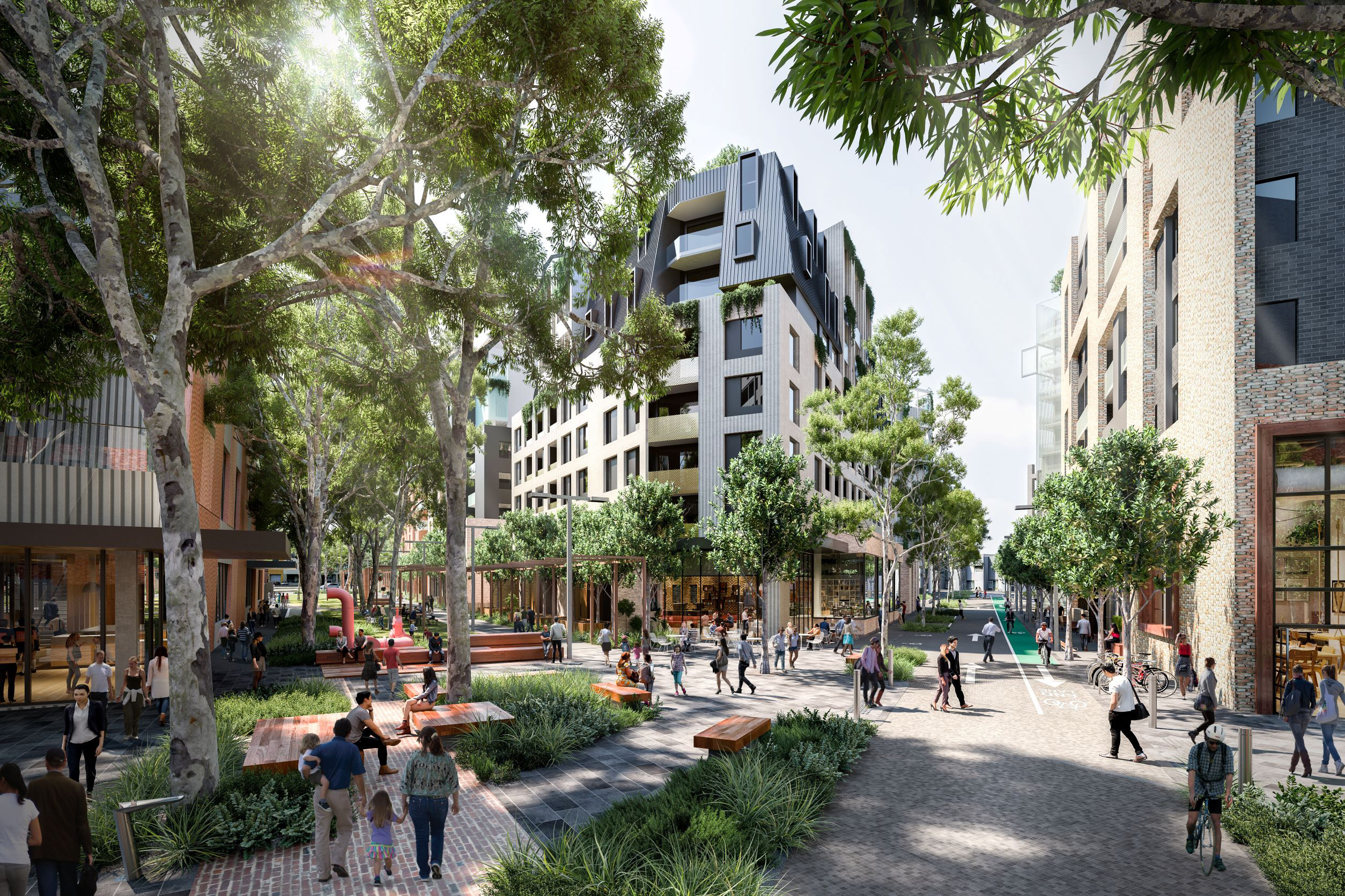
Sandringham will enhance its unique seaside charm and village feel. As the area grows, new homes and infrastructure will be delivered in a way that is environmentally sensitive and meets the needs of a diverse community.
Growth will be balanced with strong protections for the coastal environment, ensuring Sandringham remains a vibrant, sustainable and much-loved place for future generations.
I want more housing choice and homes for my children and to give them the opportunity to live in Sandringham later.
What we understand about place and how we’ve addressed it
Sandringham boasts a strong connection to the sea. Residents and visitors arriving in the centre are greeted by the views to the coast from Beach Road, Bay Road and Melrose Street.
The direct interface with the foreshore supports an active community, who use this area for active recreation, not just its appearance. This is why we have applied sun access protection controls to the foreshore to limit overshadowing, as well as reducing building heights and increasing setbacks of future developments to respond to the coastal area.
The CRG noted how important the coastal atmosphere and environment are for the area. That is why there are lower building height for parcels along Beach Road. We've also applied landscape setbacks along Bay Road to preserve existing vegetation and provide opportunities for further greening.
We heard that the community is generally supportive of development along Station Street, Bay Road and Melrose Street.
North Brighton to Sandringham core and catchment map
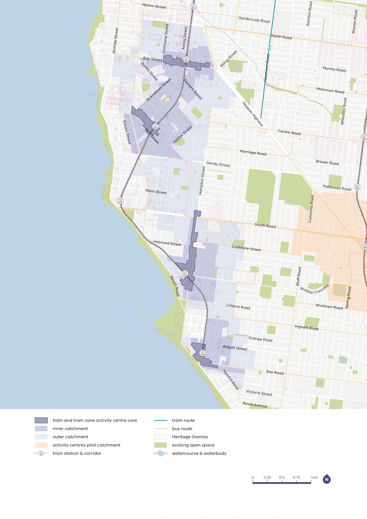

| Core | Inner catchment | Outer catchment |
|---|---|---|
| Various heights between six and 16 storeys in most centres, with potential for taller heights in some places in the larger centres | Up to four storeys, and up to six storeys on blocks larger than 1000m2 | Up to three storeys, and up to four storeys on blocks larger than 1000m2 |
Sandringham core and catchment explained
The core is the central part of the train and tram zone activity centre, closest to public transport, jobs and services. This area is best suited to accommodate more homes.
The catchment is the surrounding area within approximately 10 minutes’ walk of the core (around 800 metres).
As you move away from the commercial and community core of the train and tram zone activity centre, we expect that the proposed building heights will gradually decrease. This will allow a transition between the activity centre and the surrounding suburb.
In Sandringham, the inner catchment responds to the station and the commercial heart. The outer catchment connects to Hampton and its catchment to avoid the sensitive foreshore.
What we are doing for your community
As part of our work, we've:
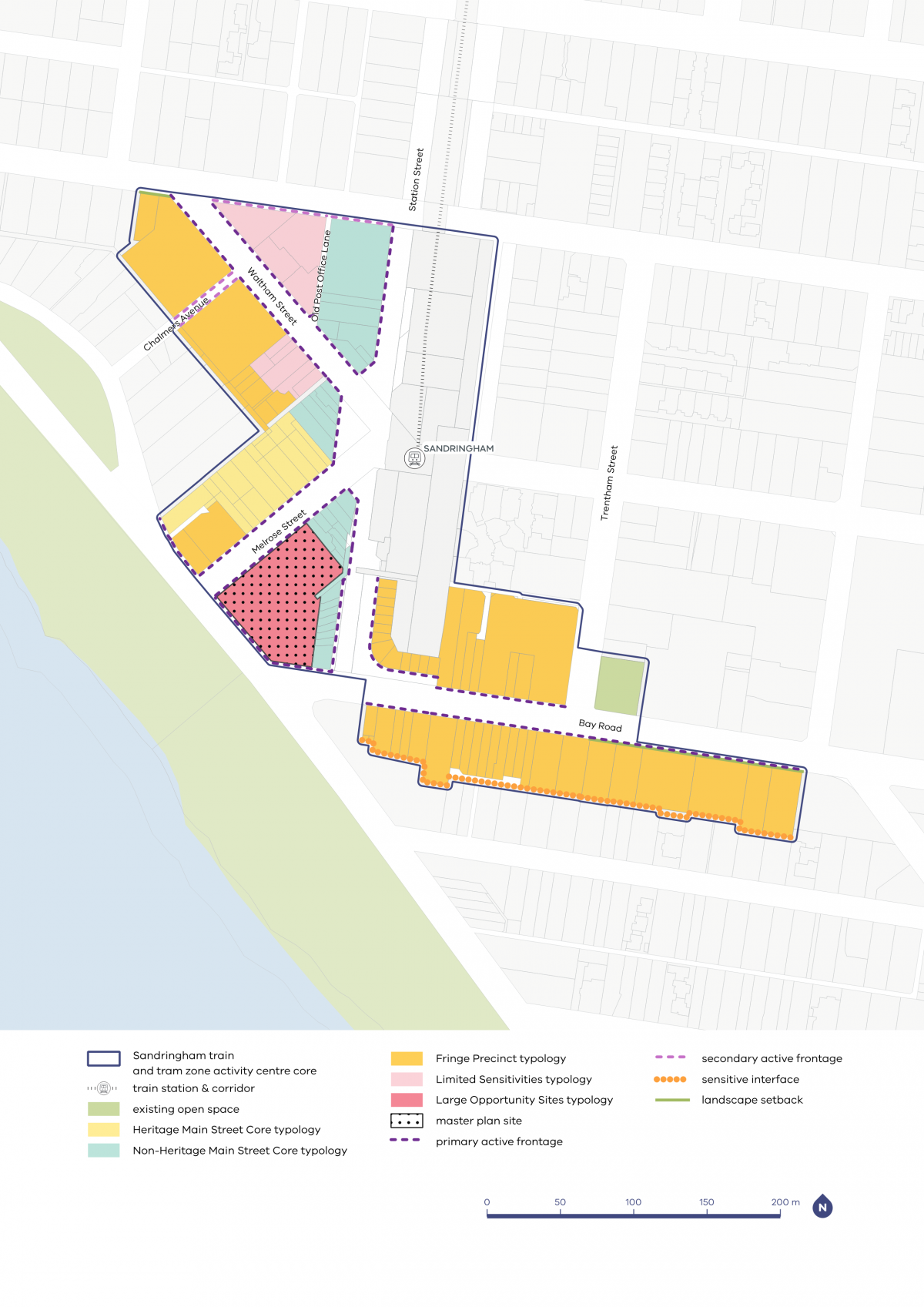
- applied main street typologies along Station Street and Melrose Street to help retain the area's village character
- applied landscape setbacks along Bay Road to protect existing vegetation and allow further greening opportunities
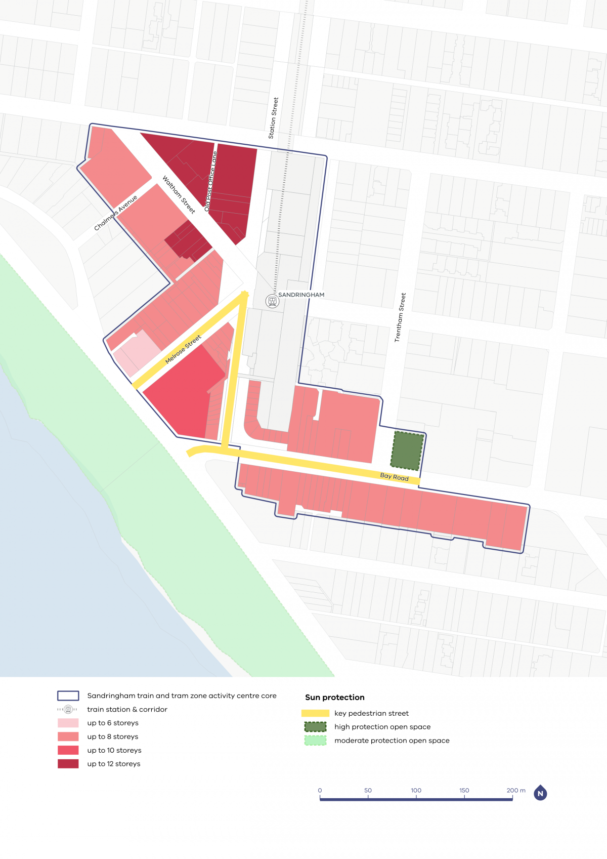
- applied a maximum height of eight storeys across most sites, with the northern pocket to have a maximum of 12 storeys
- identified key streets such as Melrose Street, Station Street and Bay Road as key pedestrian streets to protect sun access to footpaths and encourage street-level activity. The foreshore is also identified for sun access protection
- included building height and upper-level setbacks along Beach Road to prevent overshadowing of the foreshore.
Refer to the following plans:
- Plan 9: Sandringham typology, activation and setbacks
- Plan 10: Sandringham building heights and sun protection
Plans
The built form outcomes and building heights for the activity centre core are set out on the following plans:
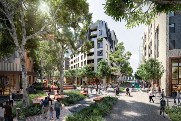
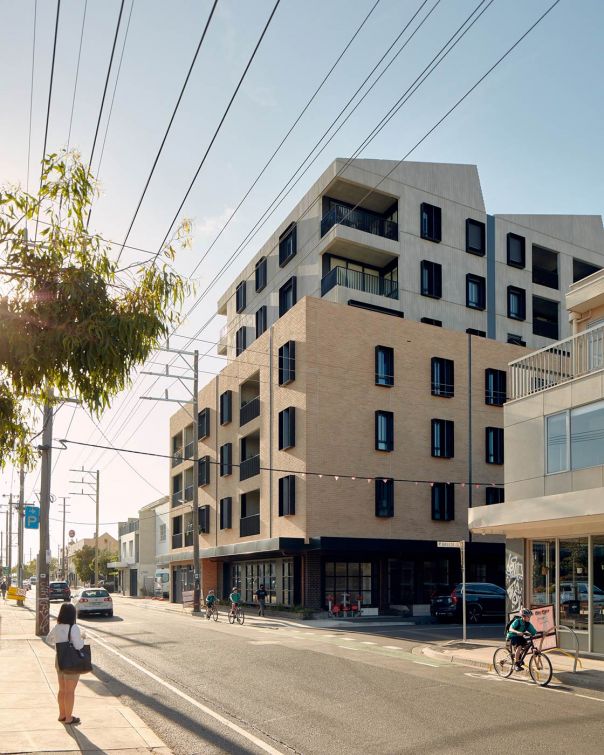
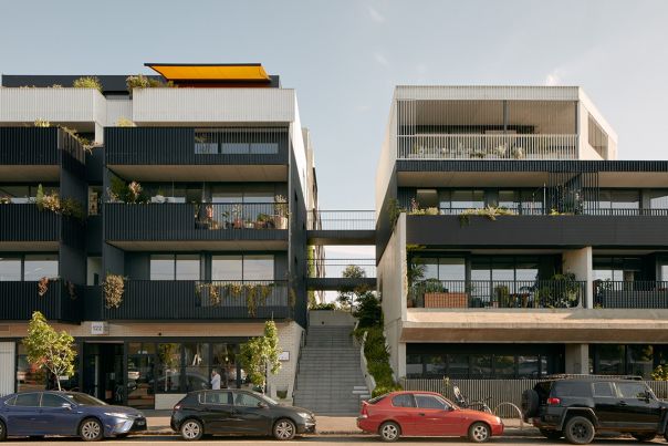
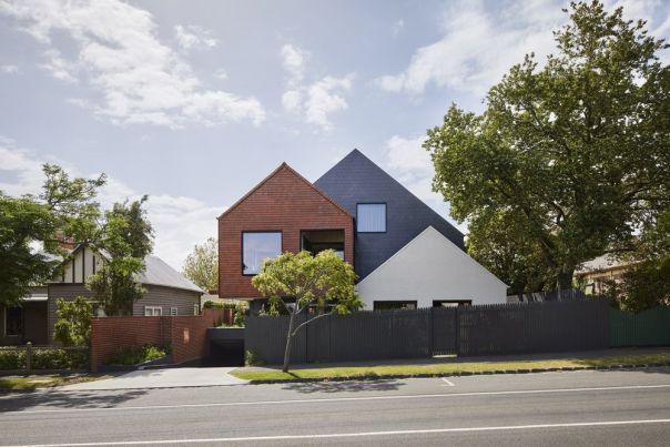
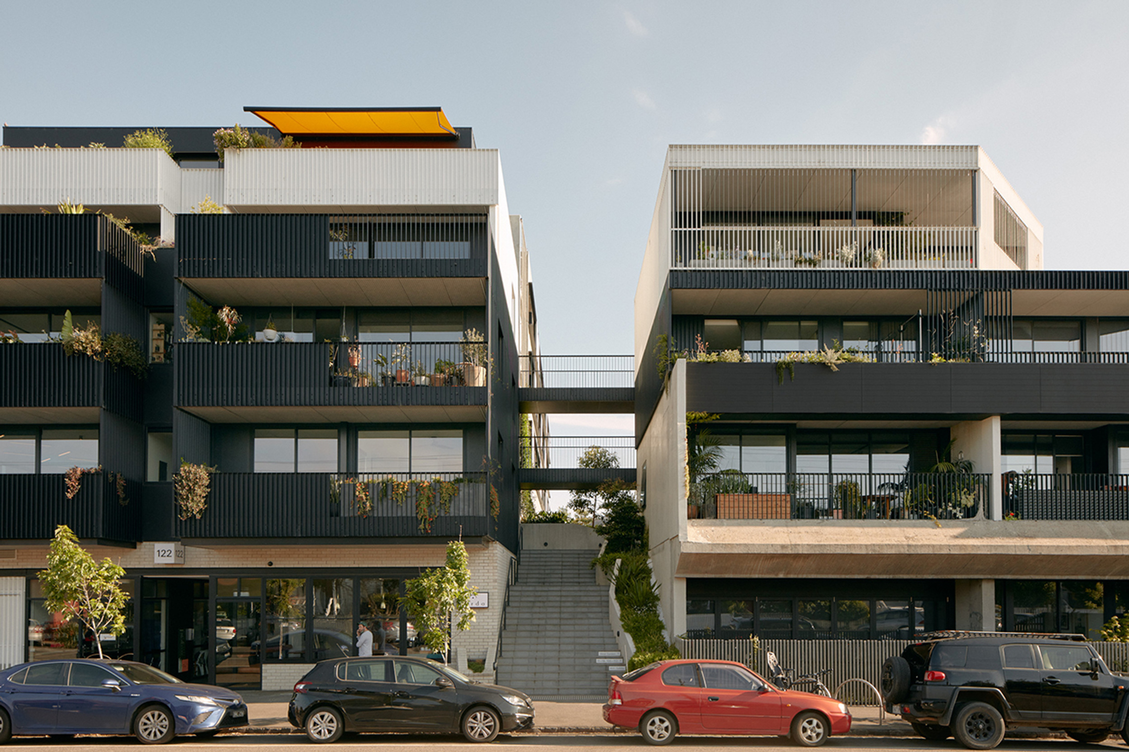
The plans support the right types of homes being built in the places they fit best. These are some of the kinds of homes you might see more of in the future.
- Activity Centre Core - large opportunity site

- Activity Centre Core - main street precinct
- Activity Centre Core - limited sensitivities precinct

- Activity Centre Core - fringe precinct

- Activity Centre Core - residential precinct
- Inner Catchment
- Outer Catchment
Activity Centre Core - large opportunity site
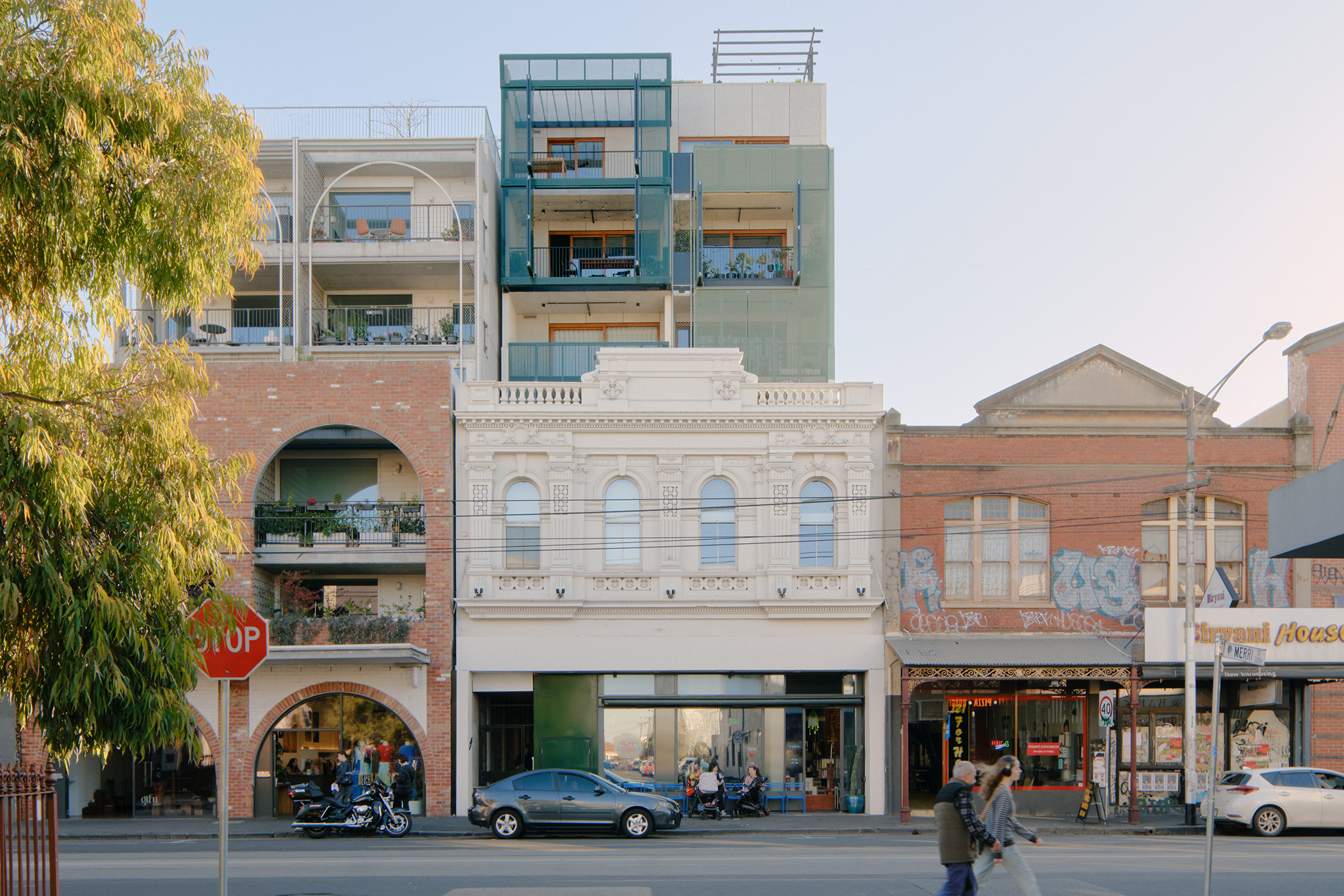
Activity Centre Core - main street precinct
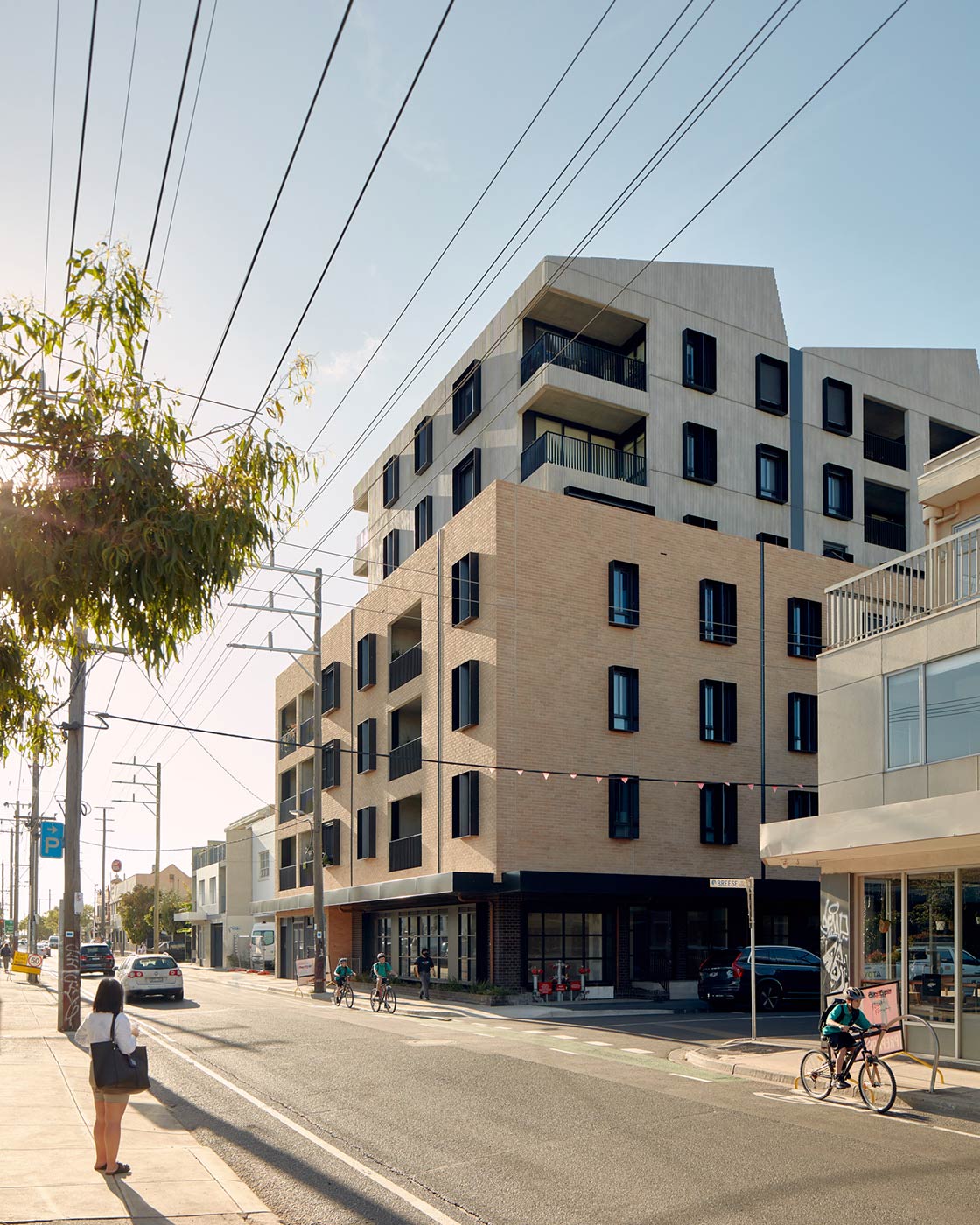
Activity Centre Core - limited sensitivities precinct
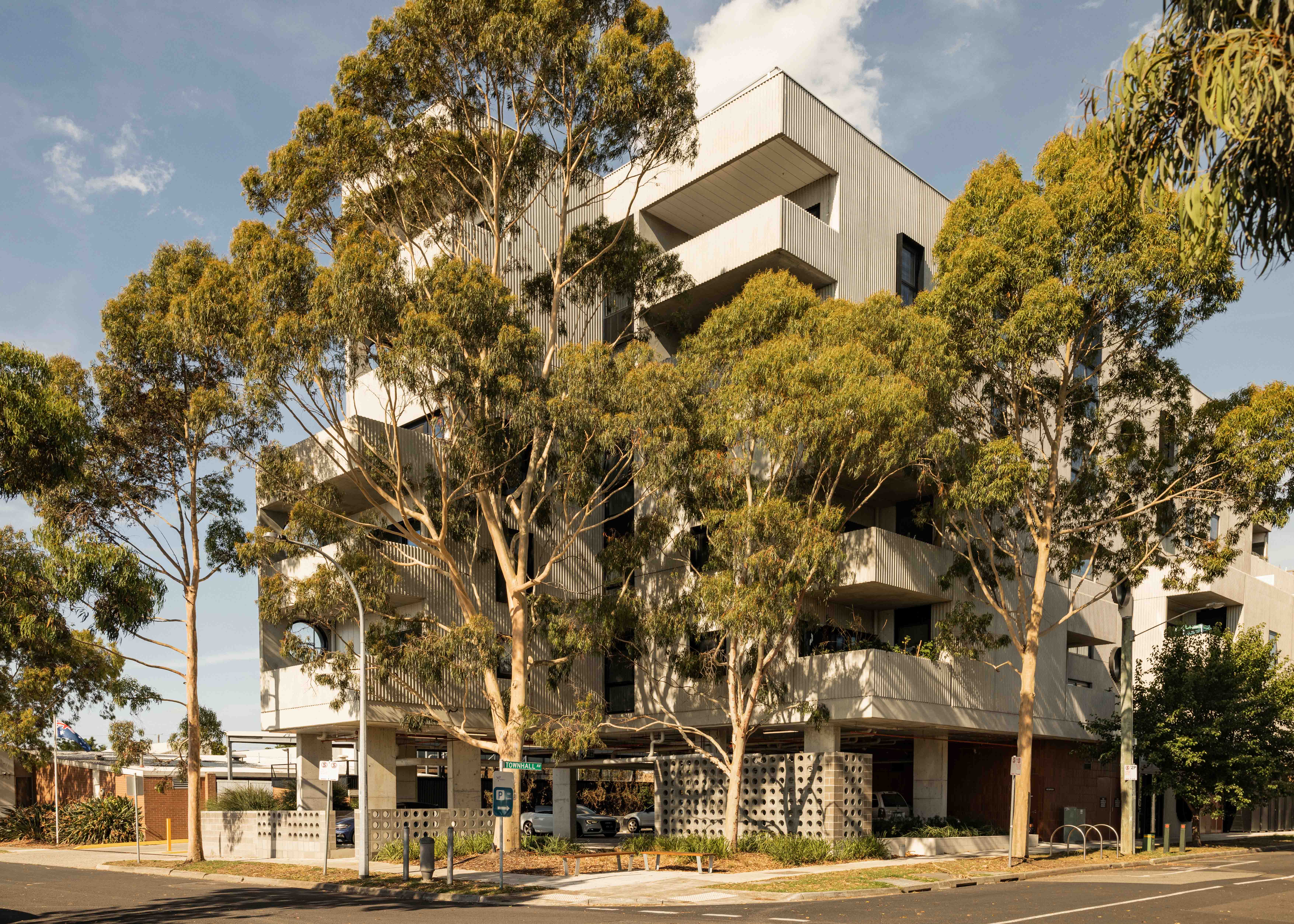
Activity Centre Core - fringe precinct
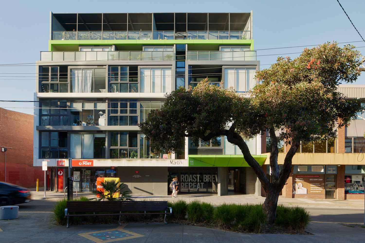
Activity Centre Core - residential precinct
Inner Catchment

Outer Catchment
Page last updated: 12/05/26