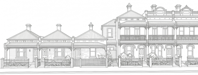
Planning 101
Planning is about creating plans and policies that guide the use of land and the development of buildings, infrastructure, and public spaces.
Read the guide
Current public consultations
Help us make decisions that reflect the best interests of our diverse Victorian community and environment. View the full list of Planning's public consultations on Engage Victoria.
-
Pick My Park
Vote now for your favourite park projects across Melbourne! Winning projects will receive grant funding to bring them to life.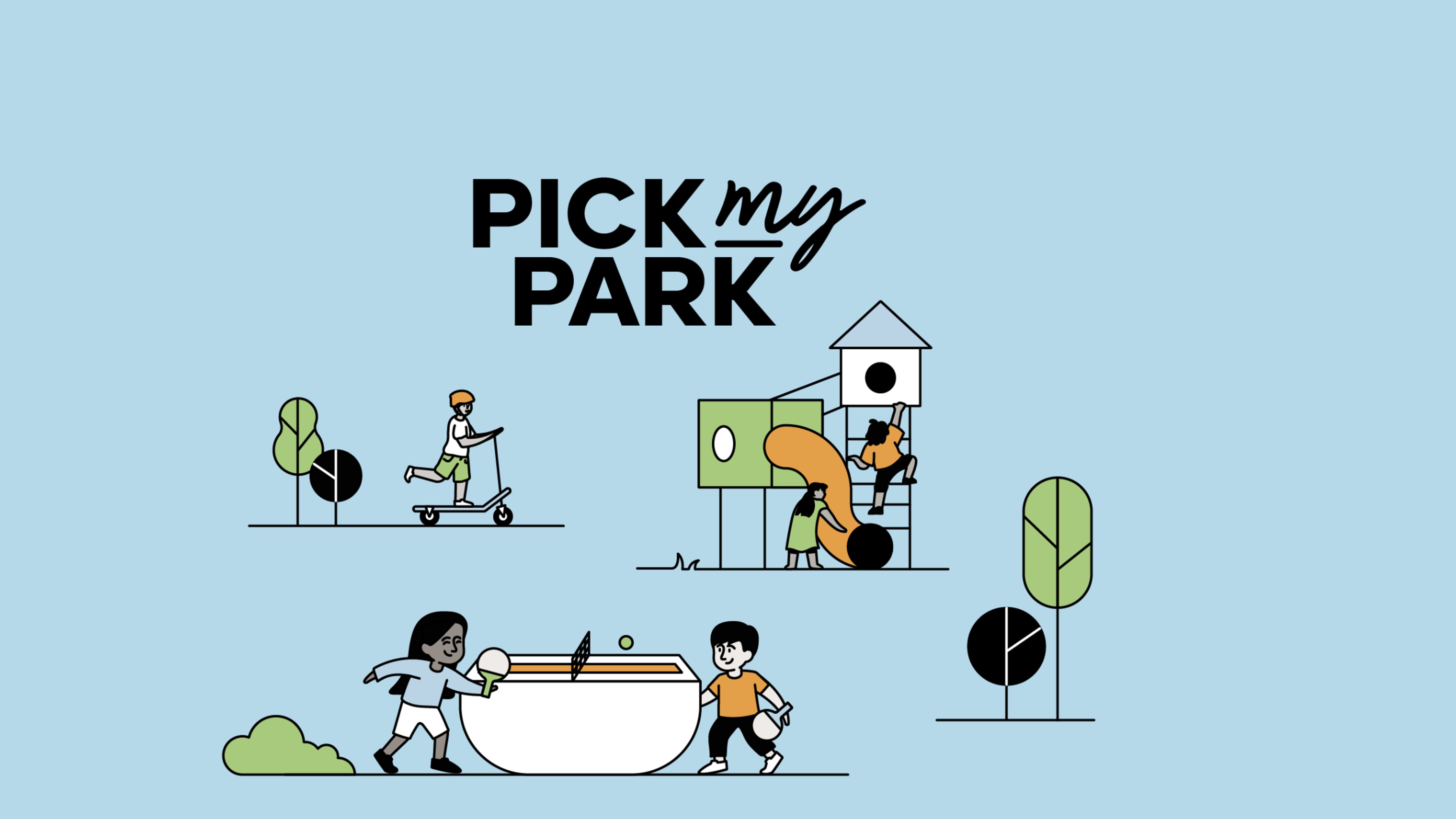
-
Priority Projects
Have your say on Priority Projects currently on public consultation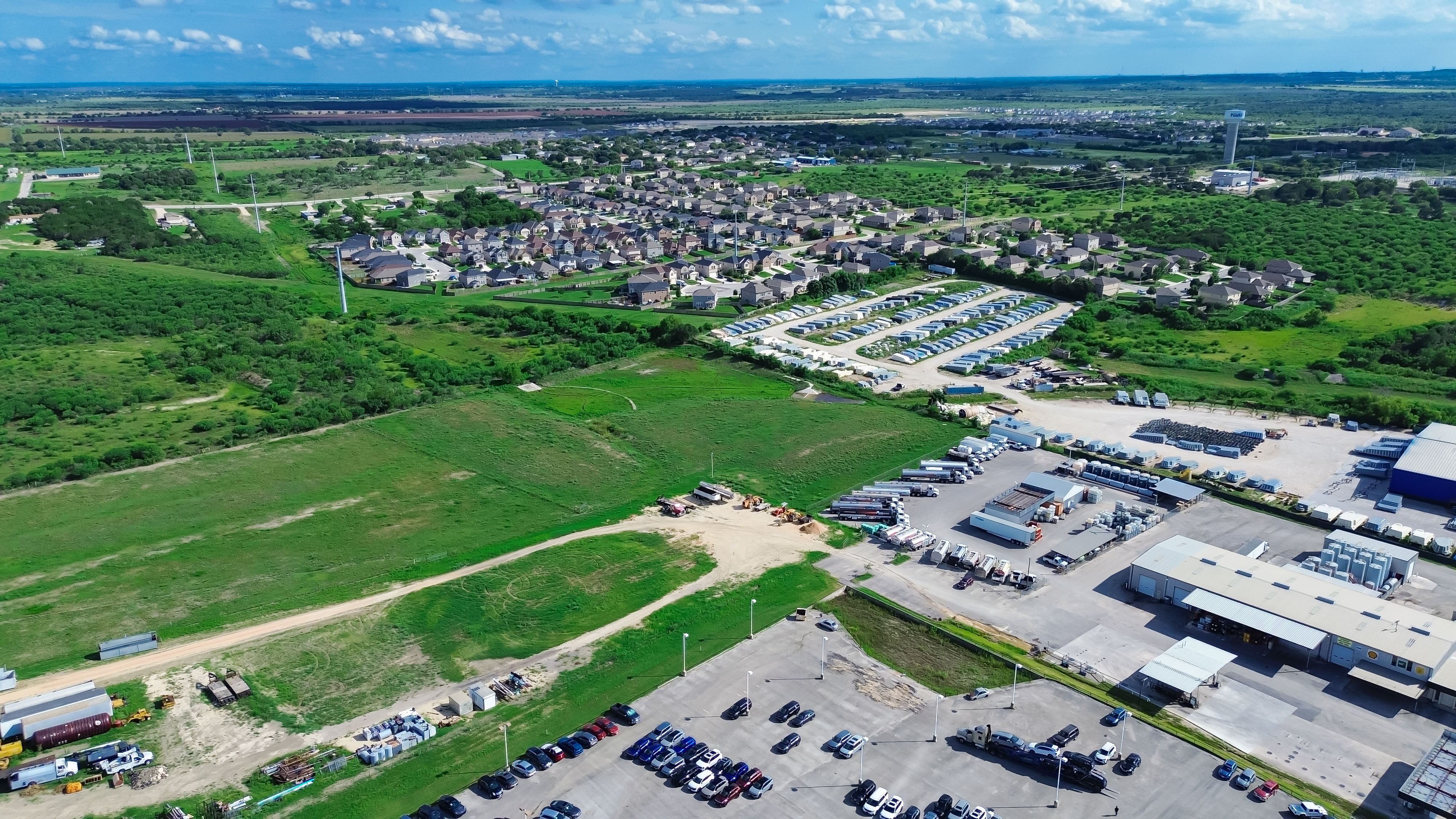
-
Name a place in Victoria
Do you know an unsung hero who has left a lasting legacy in your community?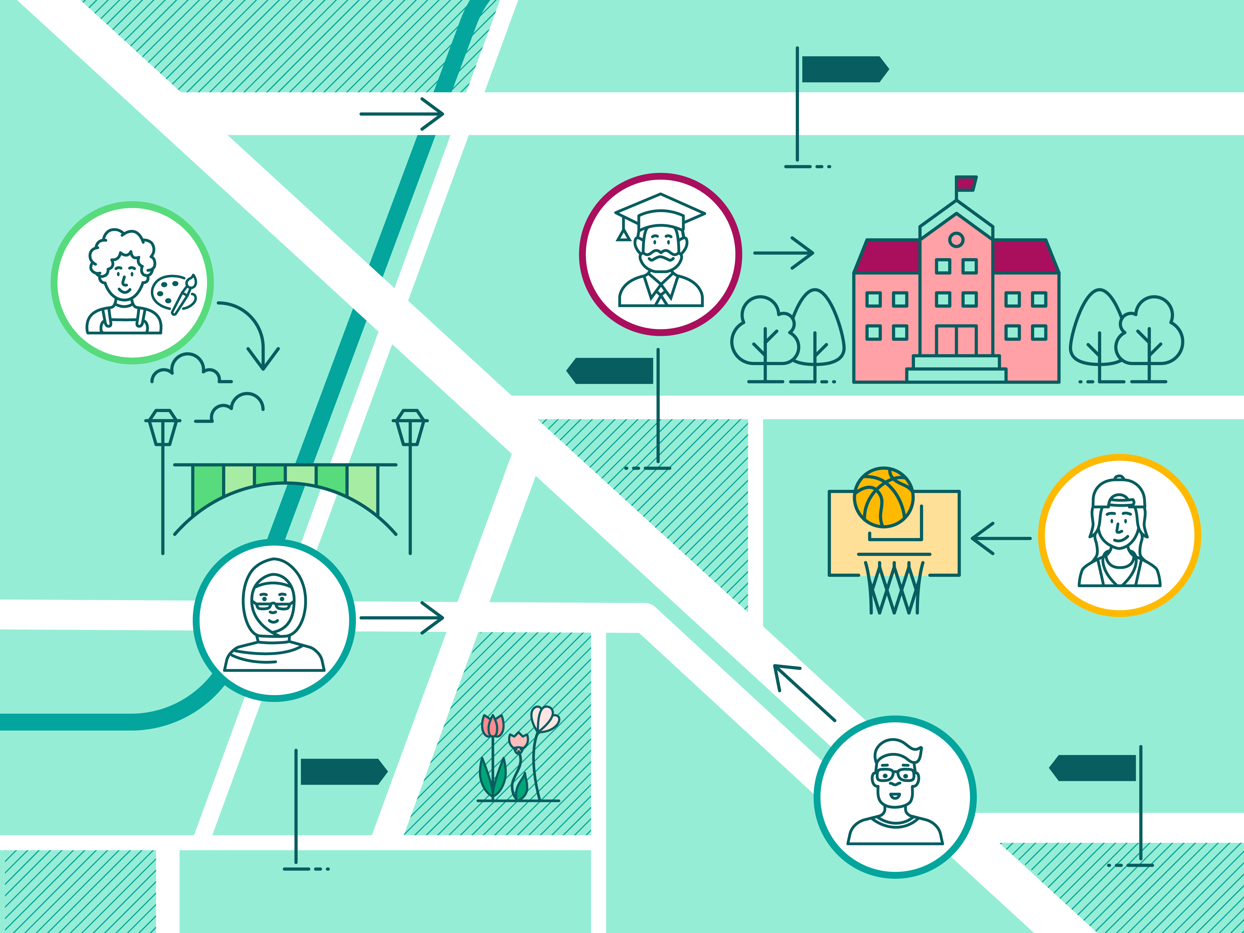
-
Plan for Victoria
Inclusive, liveable, sustainable, prosperous, and enriching. Plan for Victoria sets the state-wide vision for how Victoria will grow over ti...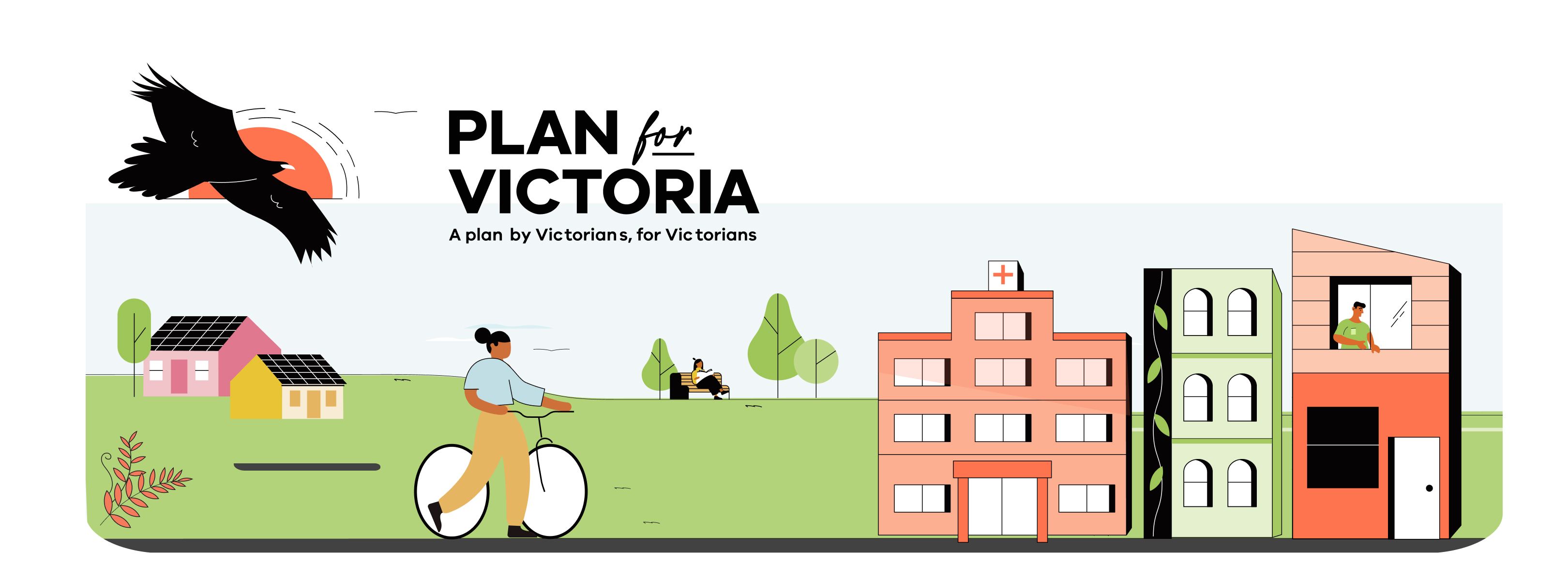
-
Train and Tram Zone Activity Centres Program
Find out what the program is all about, why it’s important, and how it will benefit you.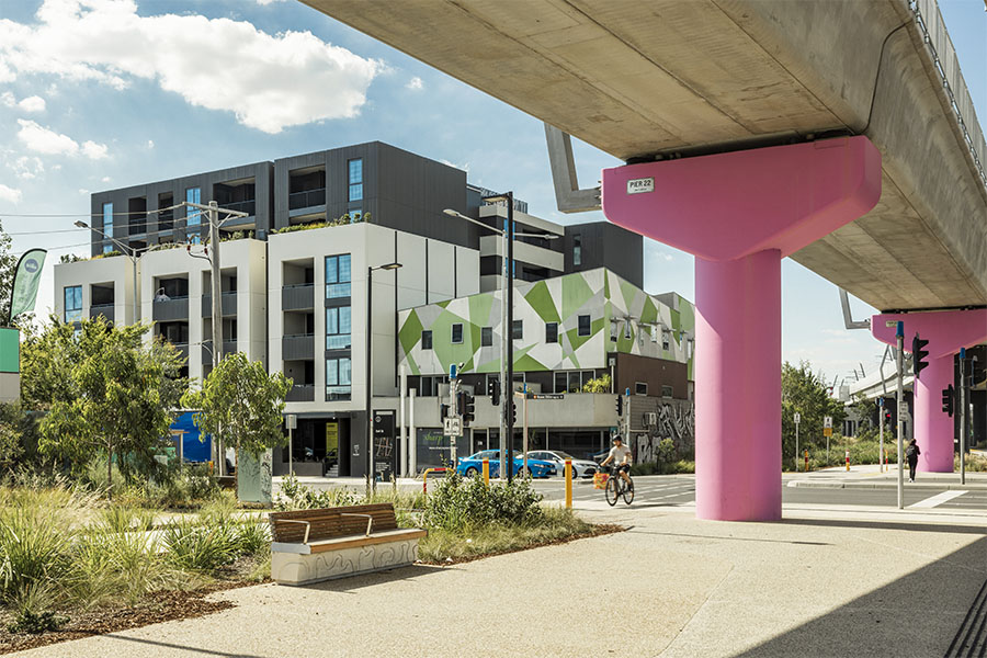
-
Writing planning permits
A clear and consistent approach for councils and responsible authorities preparing and applying permit conditions in Victoria.
Our role in planning
-

Safety and sustainability
We manage rules and regulations that enable fair, safe and sustainable land use and development. -

Engagement and consultation
We work with stakeholders to ensure planning rules and regulations meet the current and future needs of Victoria. -

Data and innovation
We apply latest research and technology to forecast planning and development trends to guide our decision making.
Latest news
-
Join a Mid-Rise Code training session
We’re hosting online training sessions to share how the Mid-Rise Code supports more well-designed, medium-density homes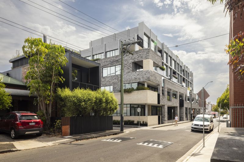
-
Showcasing buildings Victorians love
Part 2 of the State Design Book includes buildings whose designs have left their mark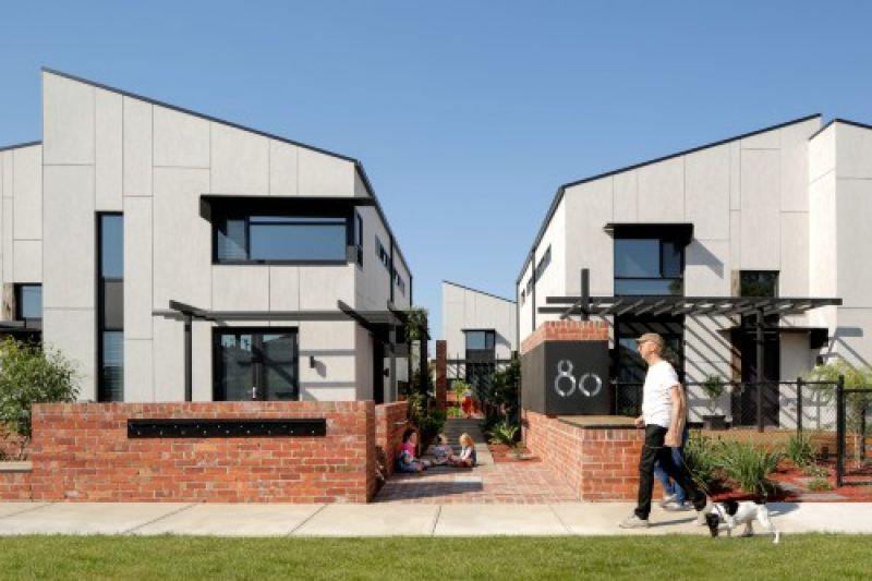
-
Victorian local heritage guidelines
Advice to support a consistent understanding of heritage amendment processes within the Victorian planning system