
Reference
On this page:
The vision for Murrumbeena
The following vision for Murrumbeena train and tram zone activity centre is built from the Statement of Advice prepared by a Community Reference Group (CRG) made up of local residents.
Murrumbeena will grow into a lively, mixed‑use centre with a strong sense of community. Its heritage buildings and leafy streets will stay a key part of its character.
As more people move into the area, new homes, shops and local businesses will help support the community, while still keeping its rich local identity and an urban community feel that people value.
Agree that density needs to increase around the train station. This should be done sensitively with high quality design.
What we understand about place and how we’ve addressed it
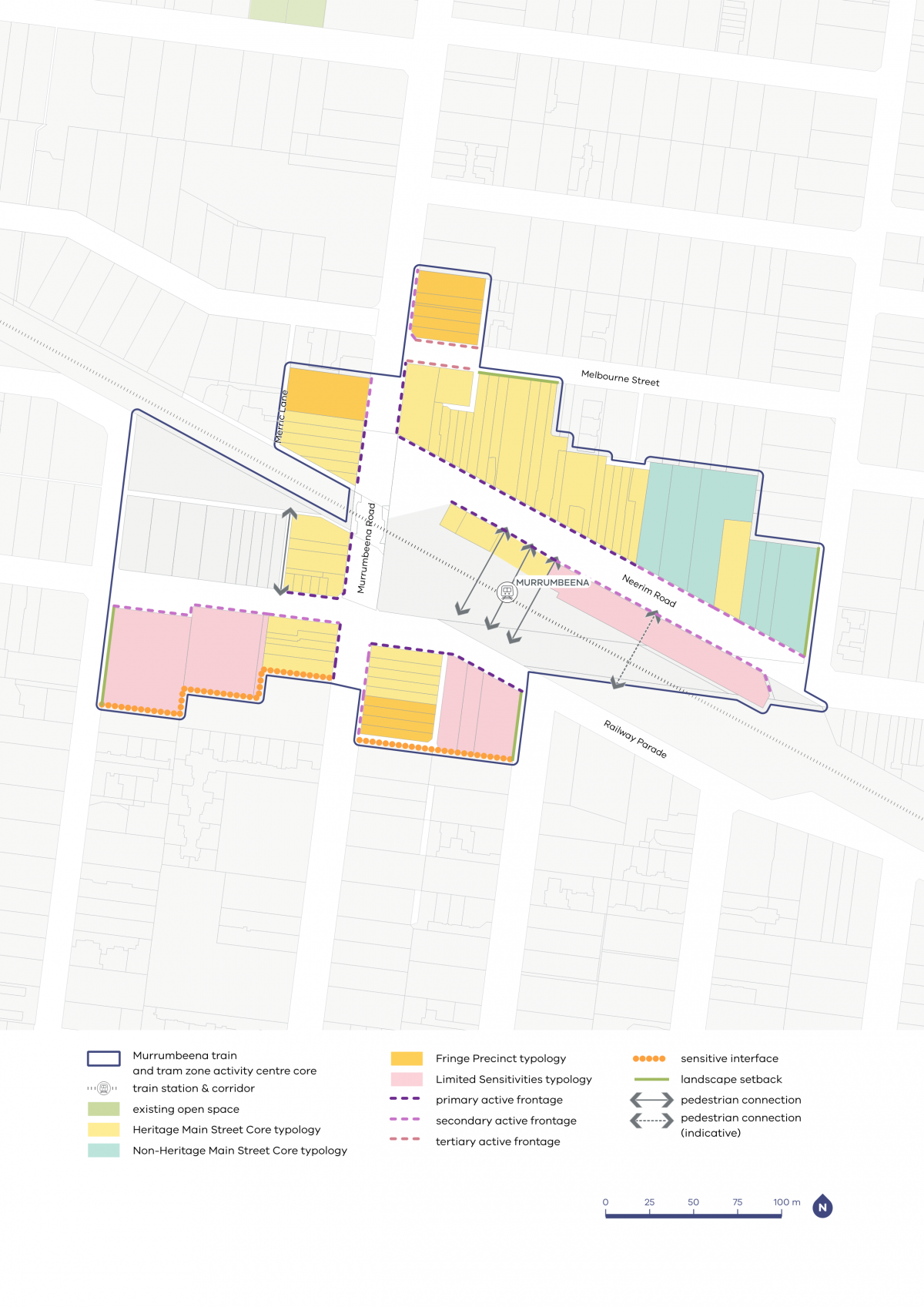
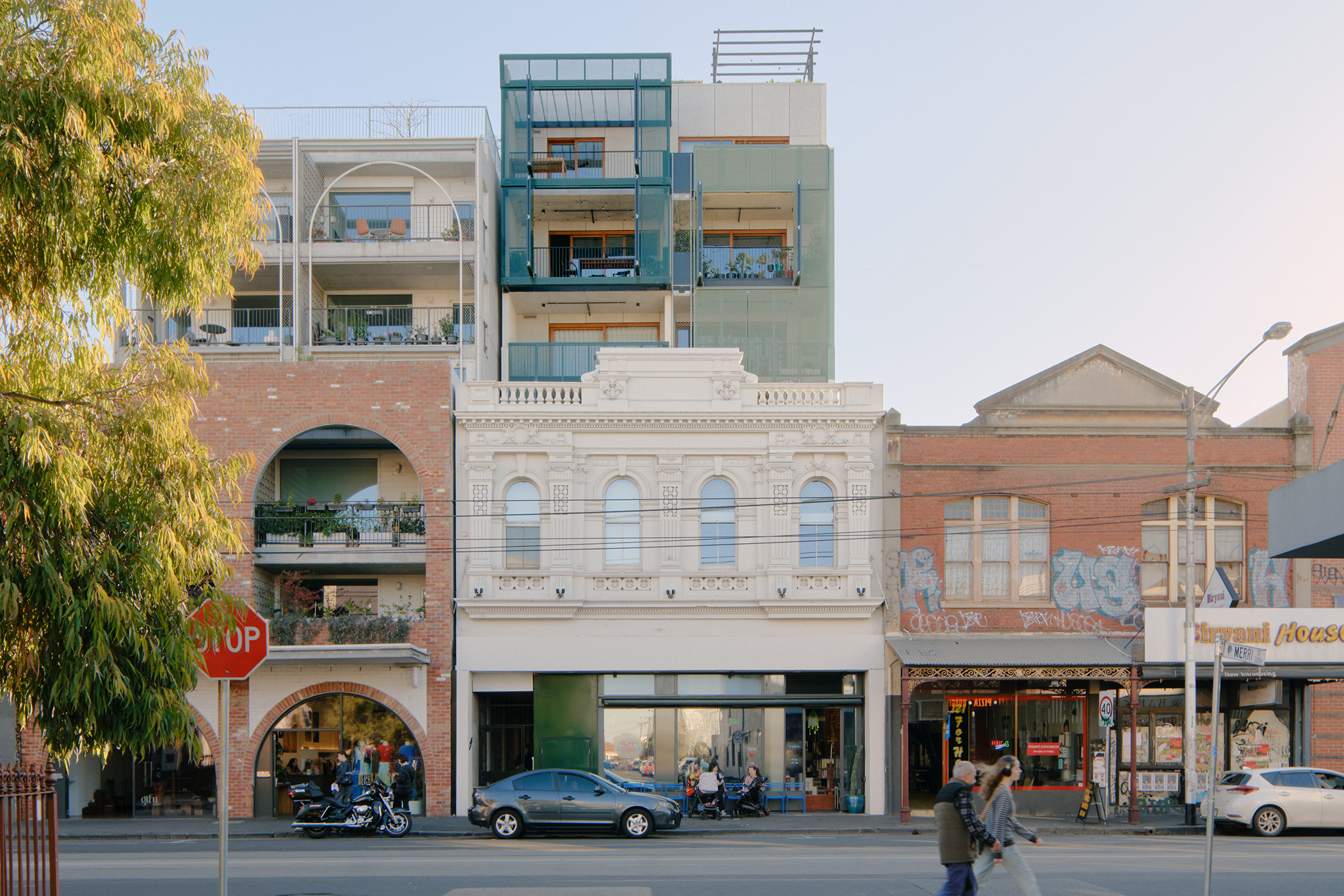
Heritage buildings, including the Murrumbeena Village Precinct and the inter‑war Ardyne Estate and Beauville Estate, give Murrumbeena a distinctive identity. The Community Reference Group emphasised the importance of Murrumbeena’s historic dwellings and shopfronts. That is why we have applied the Heritage Main Street Core typology to key sections along Neerim Road and Murrumbeena Road. Place‑specific planning controls have been applied to ensure that development of sites in the Heritage Overlay respects the character of the street.
We have applied the Non‑Heritage Main Street Core typology to areas in between heritage sites. Together with the Heritage Main Street Core typology, this approach ensures that the emerging character and street wall heights are consistent, contributing to a positive pedestrian experience within the core of Murrumbeena.
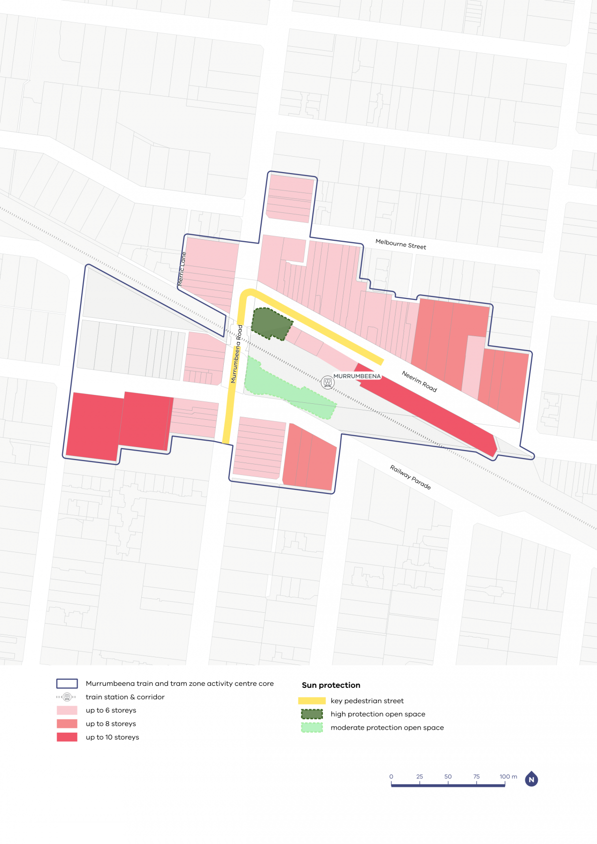
We’ve also applied solar protection to parts of Murrumbeena Road and Neerim Road, to protect access to sunlight and maintain the comfort of walking these streets. The Community Reference Group noted how important trees and carefully maintained gardens are in contributing to a neighbourhood that is calming, welcoming and liveable.
Community members also highlighted the various open spaces that are frequented by the residents in the area. Green open spaces like Murrumbeena Park and Boyd Park are much loved and used by many.
The Community Reference Group told us that open spaces such as those under the rail bridge and tree‑lined streets encourage walking, riding and recreation with pets. That is why we have planned for some landscape setbacks in places at the edge of the activity centre core.
We have also identified commonly used areas near the rail bridge as open spaces to ensure that these areas are retained and maintained as open spaces even as Murrumbeena attracts future visitors and residents.
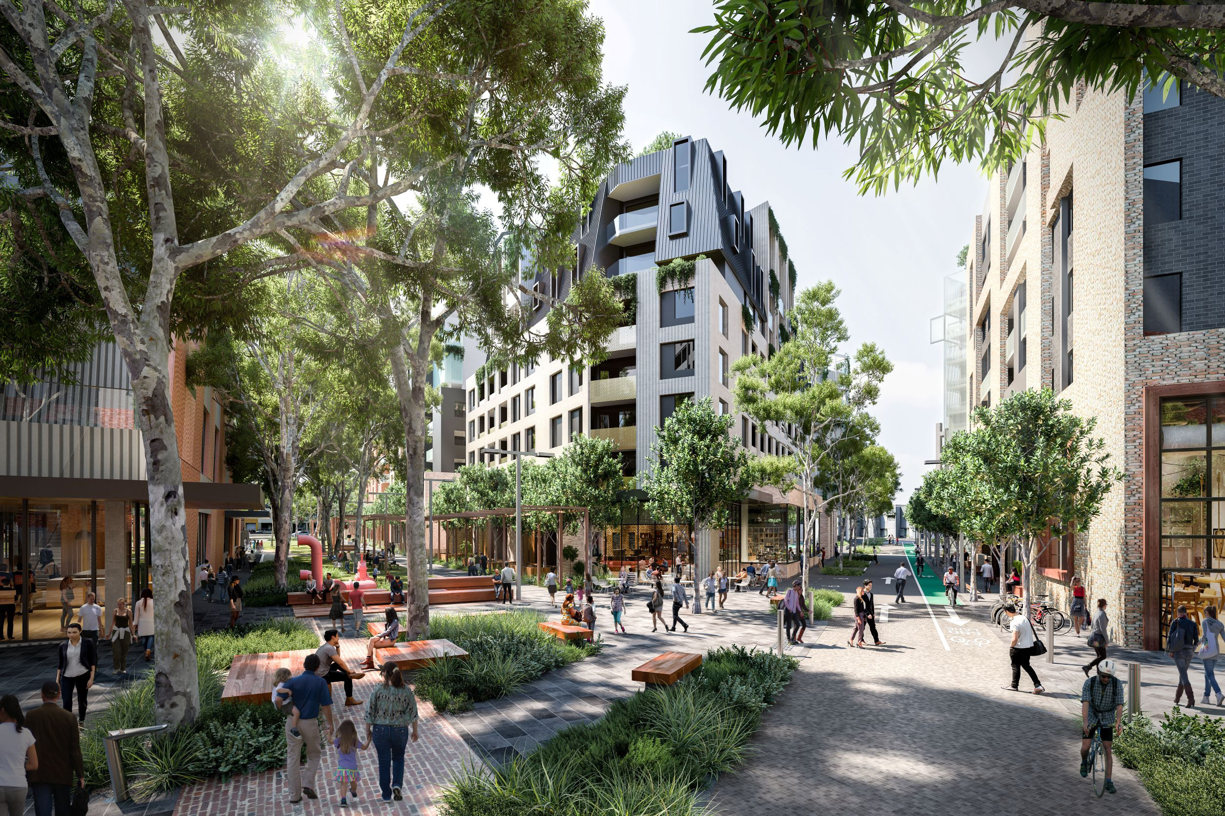
We heard that community members are generally supportive of development being concentrated in the activity centre core, around the Neerim Road and Murrumbeena Road intersection
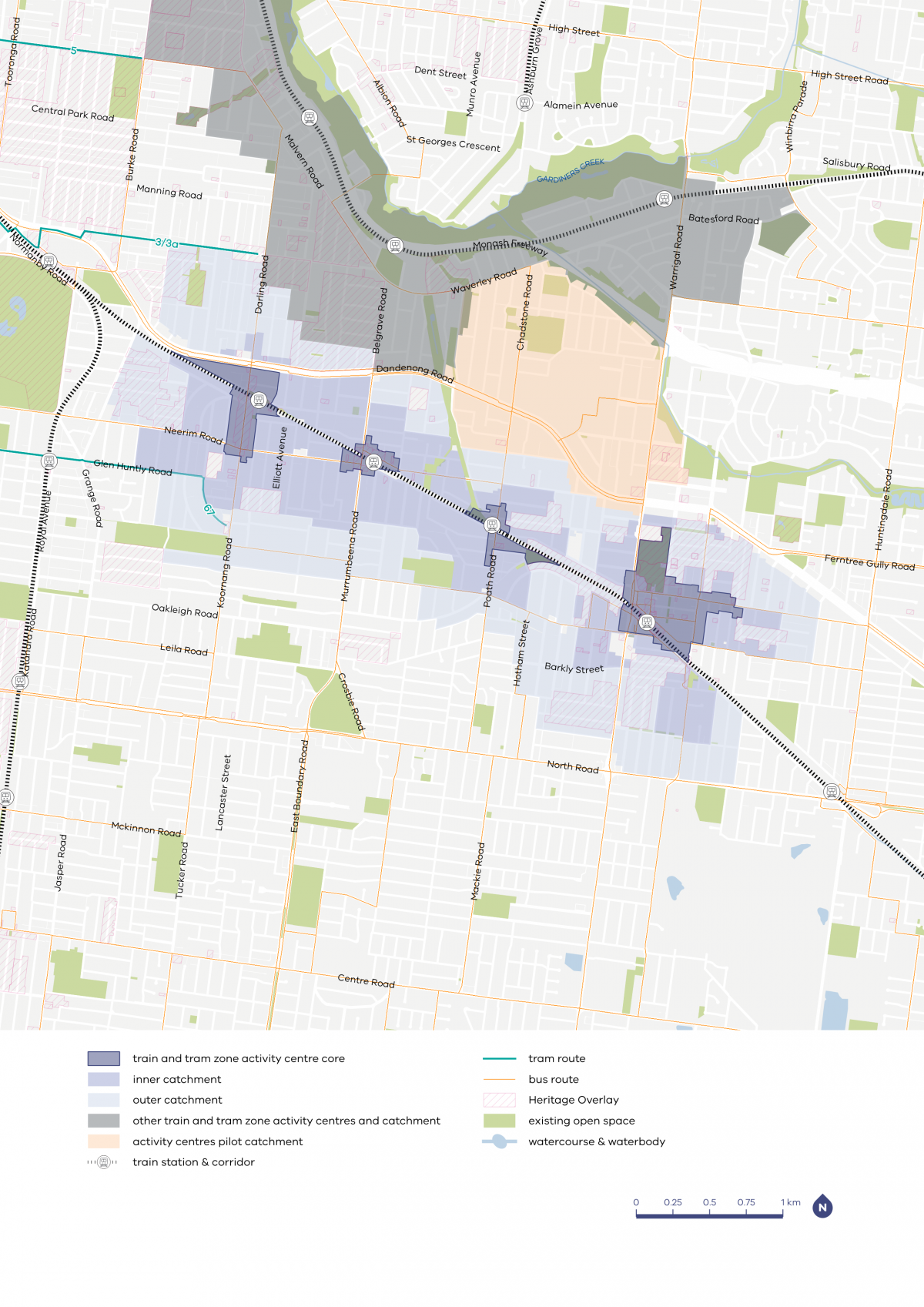
Carnegie to Oakleigh core and catchment map

| Core | Inner catchment | Outer catchment |
|---|---|---|
| Various heights between six and 16 storeys in most centres, with potential for taller heights in some places in the larger centres | Up to four storeys, and up to six storeys on blocks larger than 1000m2 | Up to three storeys, and up to four storeys on blocks larger than 1000m2 |
Murrumbeena core and catchment explained
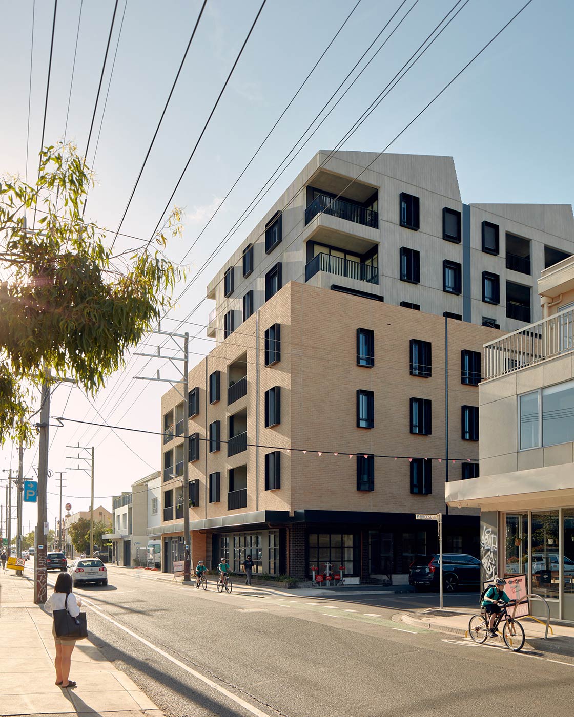
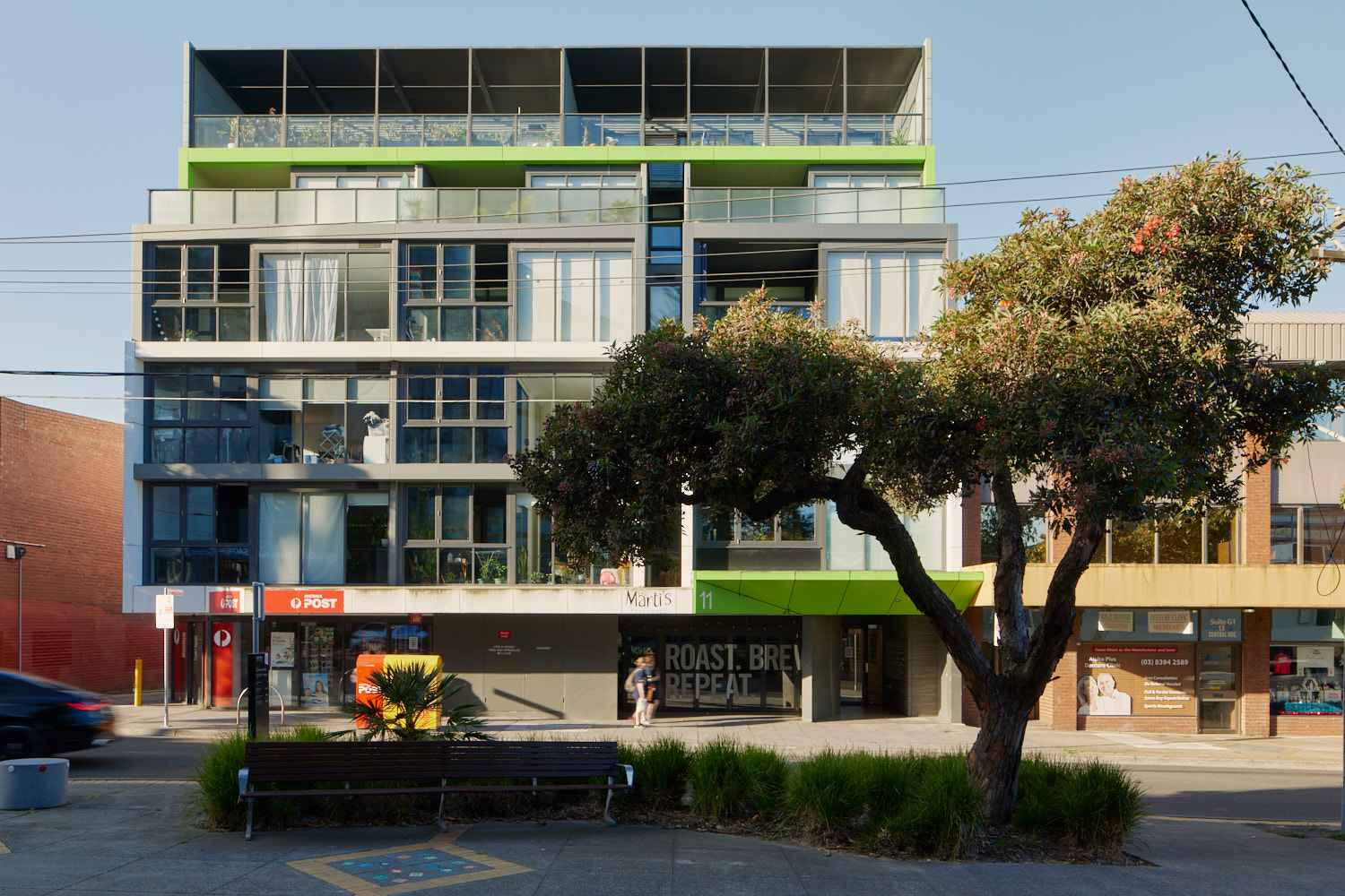
The core is the central part of the train and tram zone activity centre, closest to public transport, jobs and services. This area is best suited to accommodate more homes.
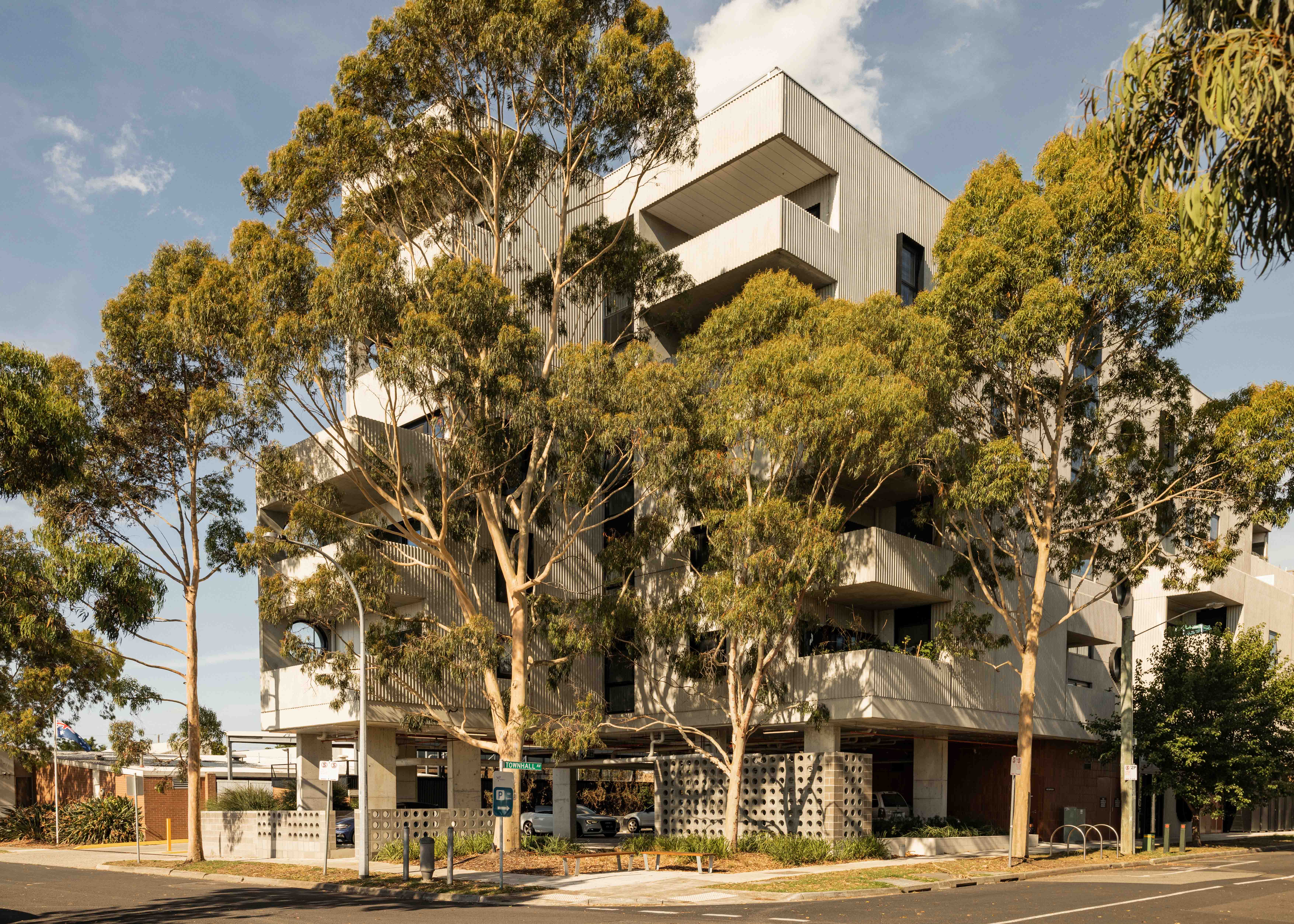
The catchment is the surrounding area within approximately 10 minutes’ walk of the core (around 800 metres).
As you move away from the commercial and community core of the train and tram zone activity centre, we expect that the building heights will gradually decrease. This will allow a transition between the activity centre and the surrounding suburb.
In Murrumbeena, the inner catchment responds to surrounding services on Murrumbeena Road as well as Boyd Park and nearby walking trails. The outer catchment responds to bus routes along Dandenong Road to the north and Kangaroo Road to the south.
What we are doing for your community
As part of our work, we've:
- applied active frontages along Neerim Road to help maintain Murrumbeena Village’s character by supporting pedestrian activity
- applied landscape setbacks to places such as Hobart Road to preserve the existing streetscape and ensure good tree canopy coverage into the future
- identified main section of Murrumbeena Road and Neerim Road as a key pedestrian street to maintain sun access
- applied high and moderate sun access protection because these spaces contribute to Murrumbeena’s public realm.
Refer to the following plans:
- Plan 3: Murrumbeena typology, activation and setbacks
- Plan 4: Murrumbeena building heights and sun protection
Plans
The built form outcomes and building heights for the activity centre core are set out on the following plans:
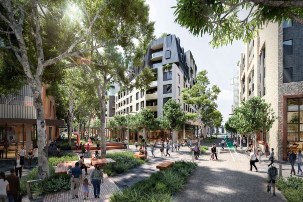
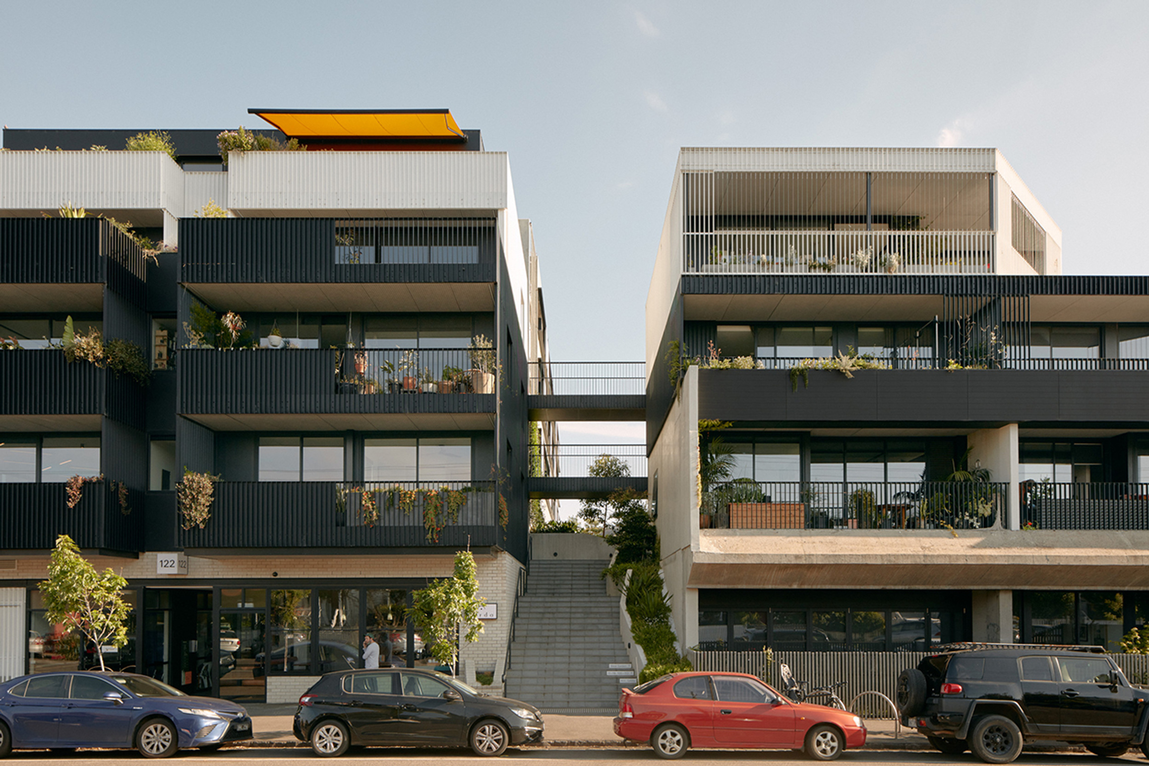
The plans support the right types of homes being built in the places they fit best. These are some of the kinds of homes you might see more of in the future.
- Activity Centre Core - large opportunity site

- Activity Centre Core - main street precinct
- Activity Centre Core - limited sensitivities precinct

- Activity Centre Core - fringe precinct

- Activity Centre Core - residential precinct
- Inner Catchment
- Outer Catchment
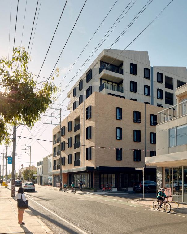
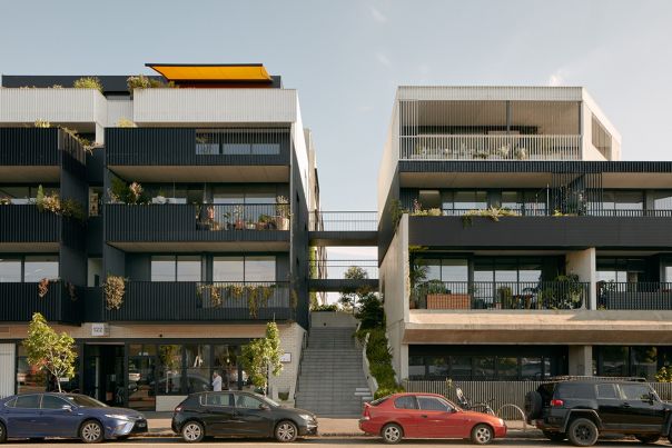
Activity Centre Core - large opportunity site
Activity Centre Core - main street precinct
Activity Centre Core - limited sensitivities precinct
Activity Centre Core - fringe precinct
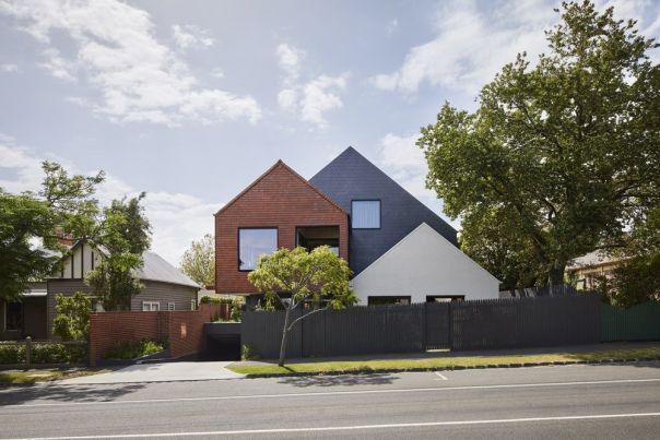
Activity Centre Core - residential precinct
Inner Catchment

Outer Catchment
Page last updated: 14/05/26