A
B
C
D
E
F
G
H
I
K
L
M
N
P
Q
S
T
V
W
Y
New to planning schemes?
Find out what a planning scheme is, and learn about the structure and components of planning schemes, the Victoria Planning Provisions and incorporated documents.
Read the guide
In this section
-
Planning scheme amendments
View planning scheme amendments and discover the process, resources and tools for planning authorities to amend a planning scheme.
-
Upper Yarra Valley and Dandenong Ranges Regional Strategy Plan
Strategy plan for the former shires of Healesville, Lilydale, Sherbrooke and Upper Yarra to protect the special features and character of th...
-
Ministerial directions
The Minister for Planning issues directions to planning authorities about the preparation of planning schemes and amendments.
-
Using VicPlan
VicPlan allows you to find a property or parcel, generate a planning property report, and view zones and overlays anywhere in Victoria.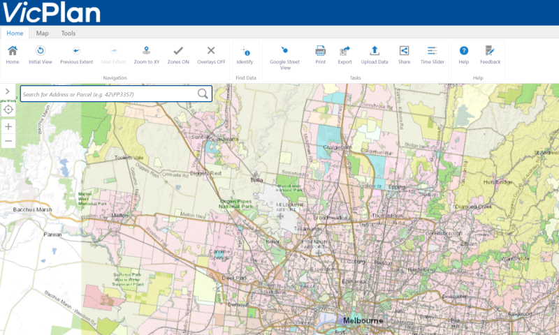
-
Planning Panels Victoria
Independent panel that reviews planning proposals and major projects across state of Victoria.