
Vegetation removal
Check the rules about clearing vegetation to protect your property from bushfire
Vegetation removalIn this section
-
Bushfire controls and preparing my property
Learn about bushfire controls, what they mean and if they apply to your property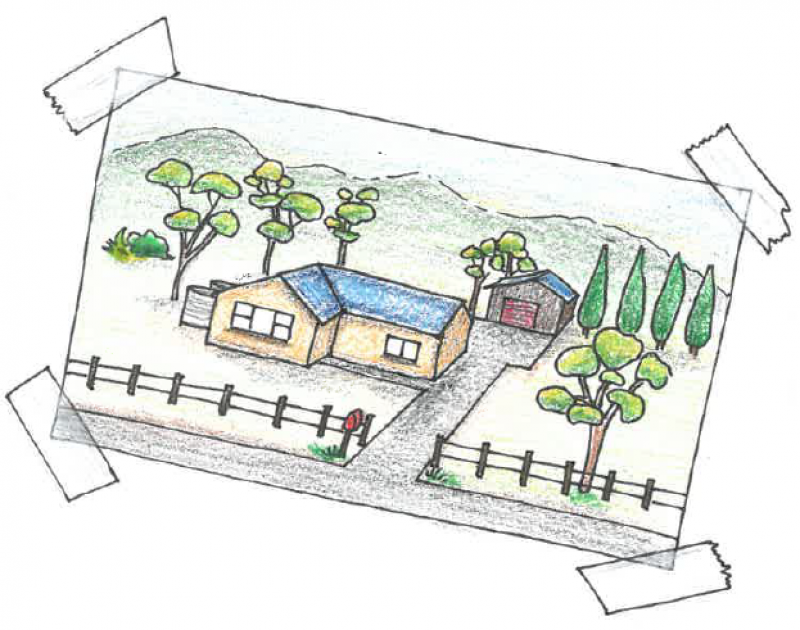
-
Building in designated bushfire prone areas
Learn about building in bushfire prone areas and what controls might apply to your development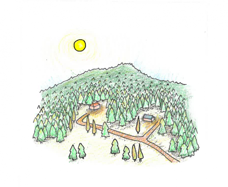
-
Building in the bushfire management overlay
The BMO applies to land that may be significantly affected by extreme bushfires.
-
Bushfire planning policy
Learn about the policy, regulations and what is involved in strategic planning for bushfire
-
Bushfire recovery and rebuilding
Learn about planning and building processes to help communities recover and rebuild after bushfires.
-
Bushfire mapping and reviews
Bushfire prone area map and bushfire management overlay map reviews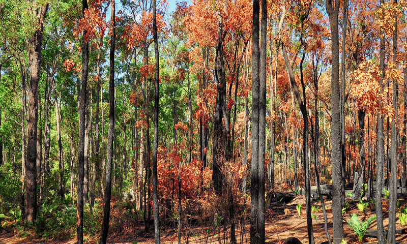
PPN64: Local planning for bushfire protection
This planning practice note provides guidance on local planning for bushfire protection, assists councils to tailor the Local Planning Policy Framework in response to bushfire matters where necessary, and provides guidance on how to prepare schedules to the Bushfire Management Overlay.
Read the practice note